The weather was great for the weekend, so with the golden autumn in full swing, there were only a few options for trips—naturally, the Dolomites was the perfect choice.
This time, we went with Nadia, who courageously agreed to join at the last minute—literally just a few days before departure.
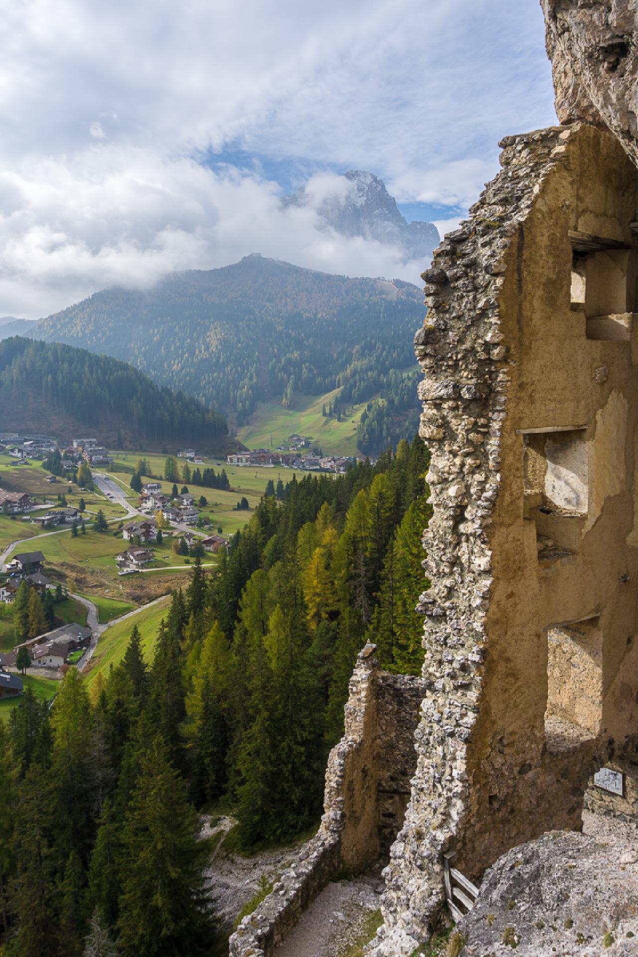
Our first stop after the traditionally early start at 5 AM from Munich was the ruins of Wolkenstein Castle and the corresponding geocache. I had been here before, but couldn’t find the cache last time, and it was impossible to replace it then, so I stopped by to try again—and also stretch my legs after the long drive. The view from the hill was stunning, with great views of the valleys and mountains, and you could explore the ruins, proudly ignoring the “No Entry” sign.
Lago Limides
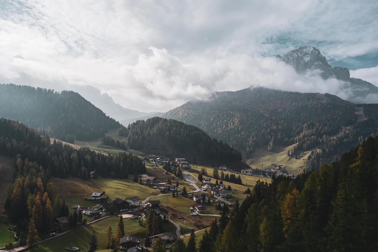
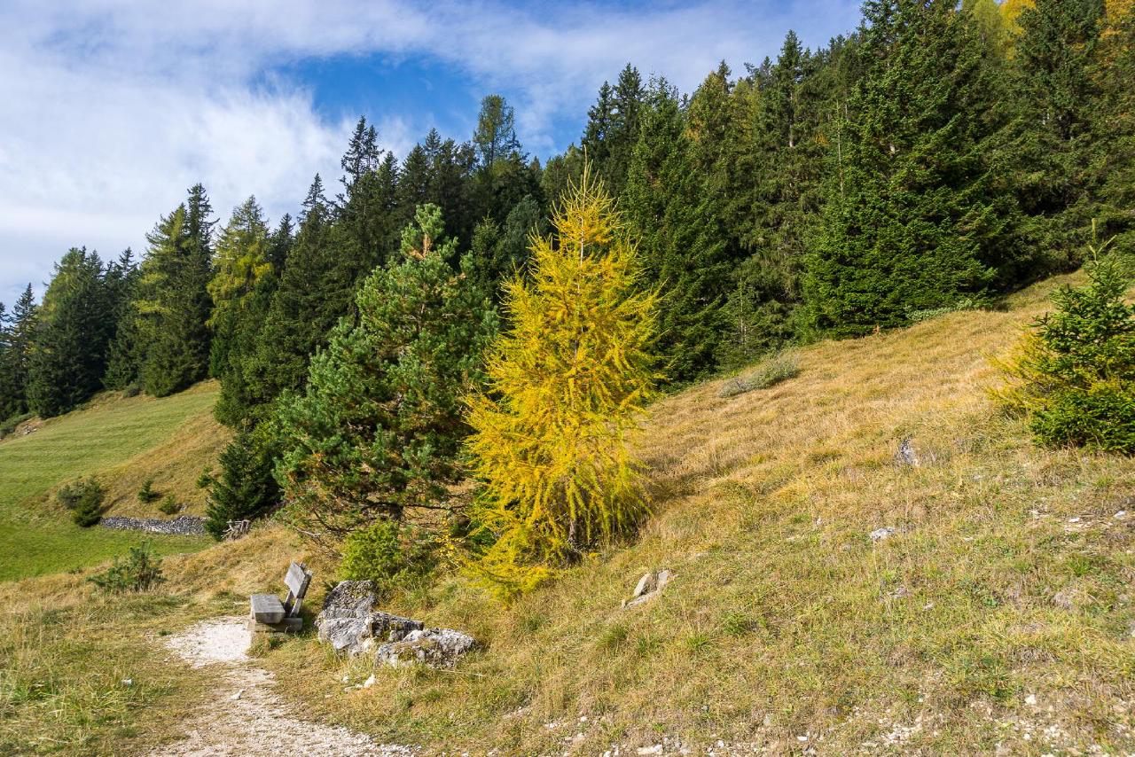
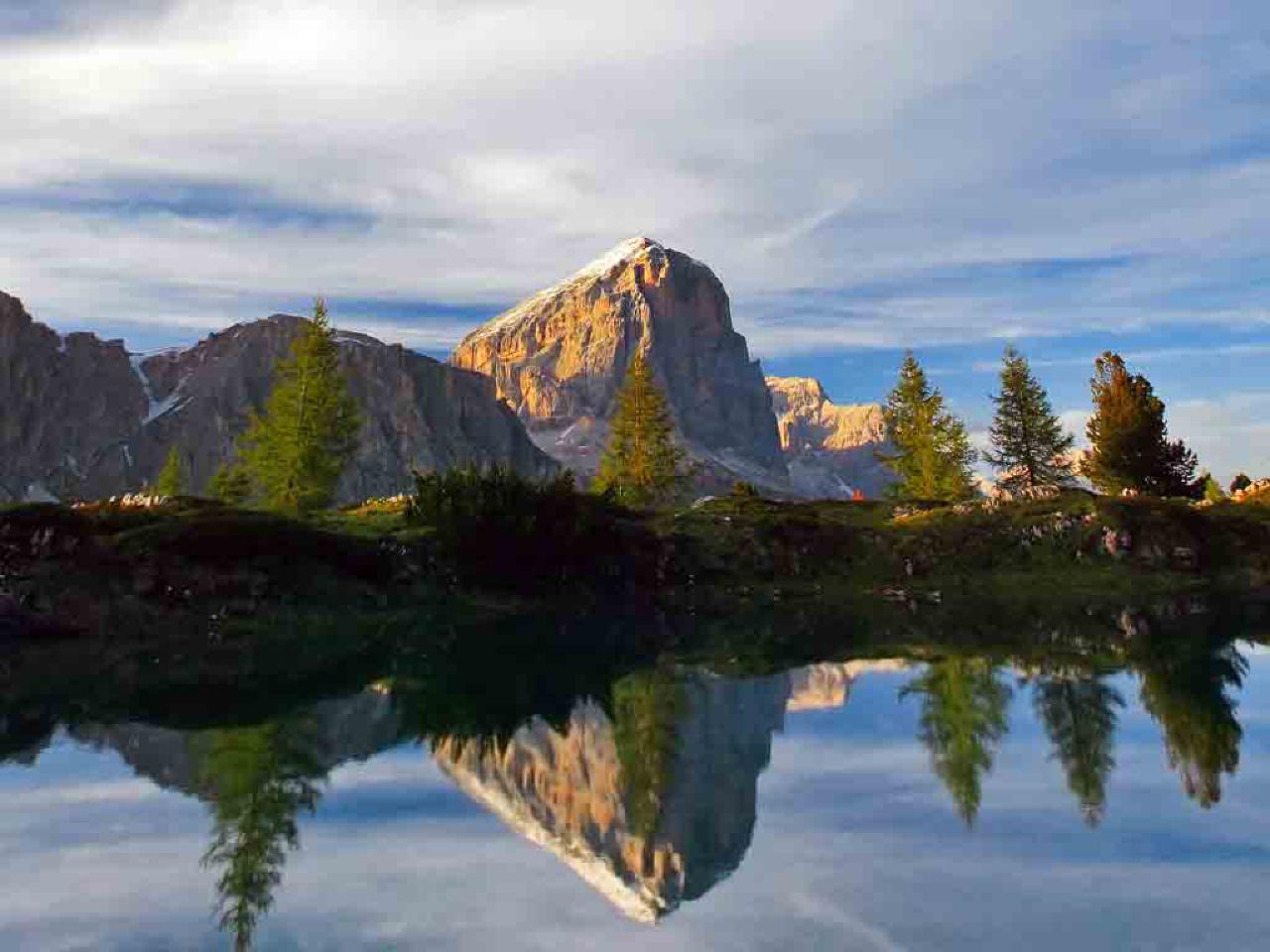
Our next stop was the small mountain lake Lago Limides. It had been on my list for a few years, but I hadn’t managed to get there until now. This time, it happened to be on the way, and the timing was perfect for a lunch break.
The hike was incredibly easy: one kilometer one way, with a 30-minute ascent gaining about 120 meters of elevation. After a snack and some time taking in the scenery, which lasted about 50 minutes, we descended back in 20 minutes.
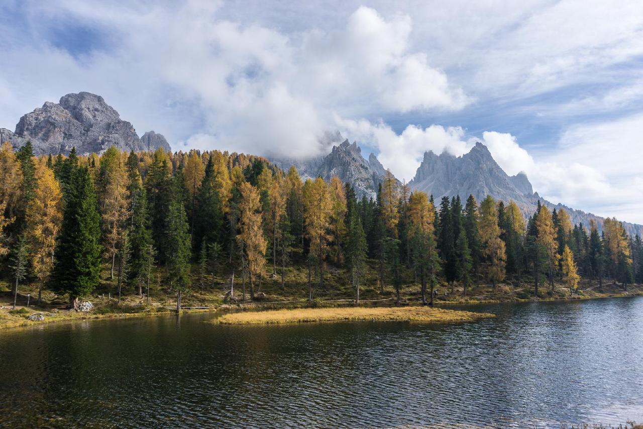
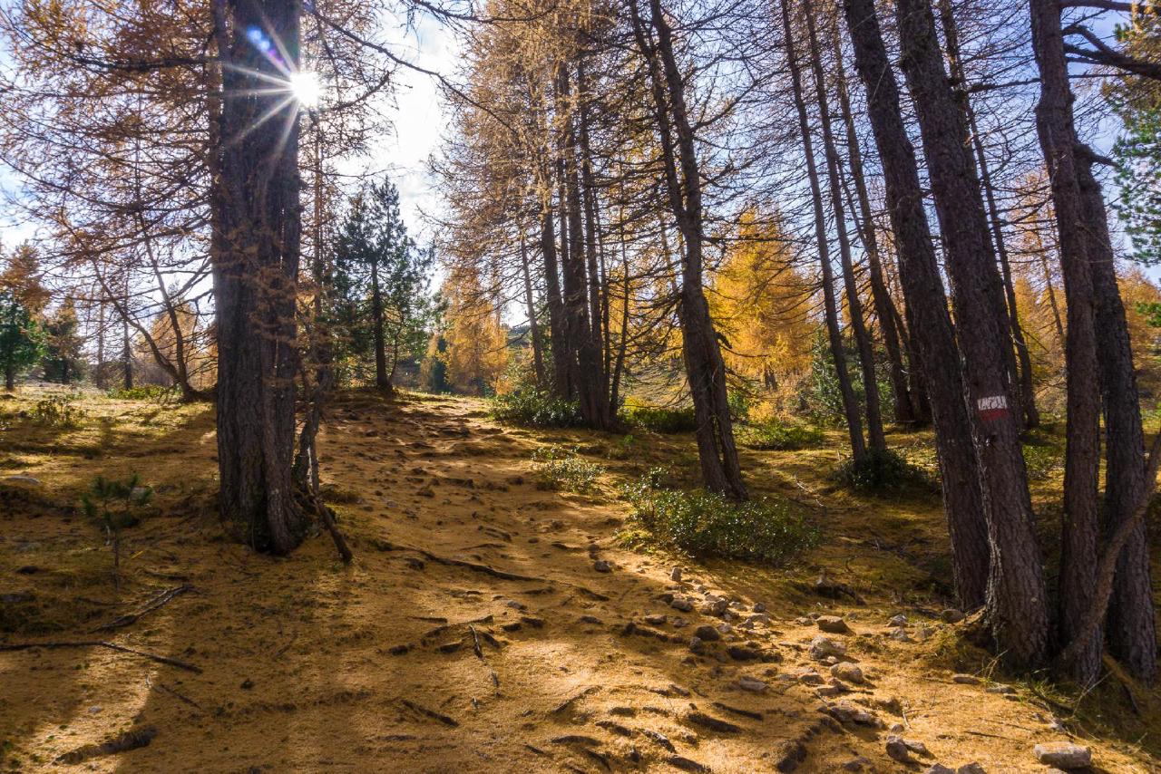
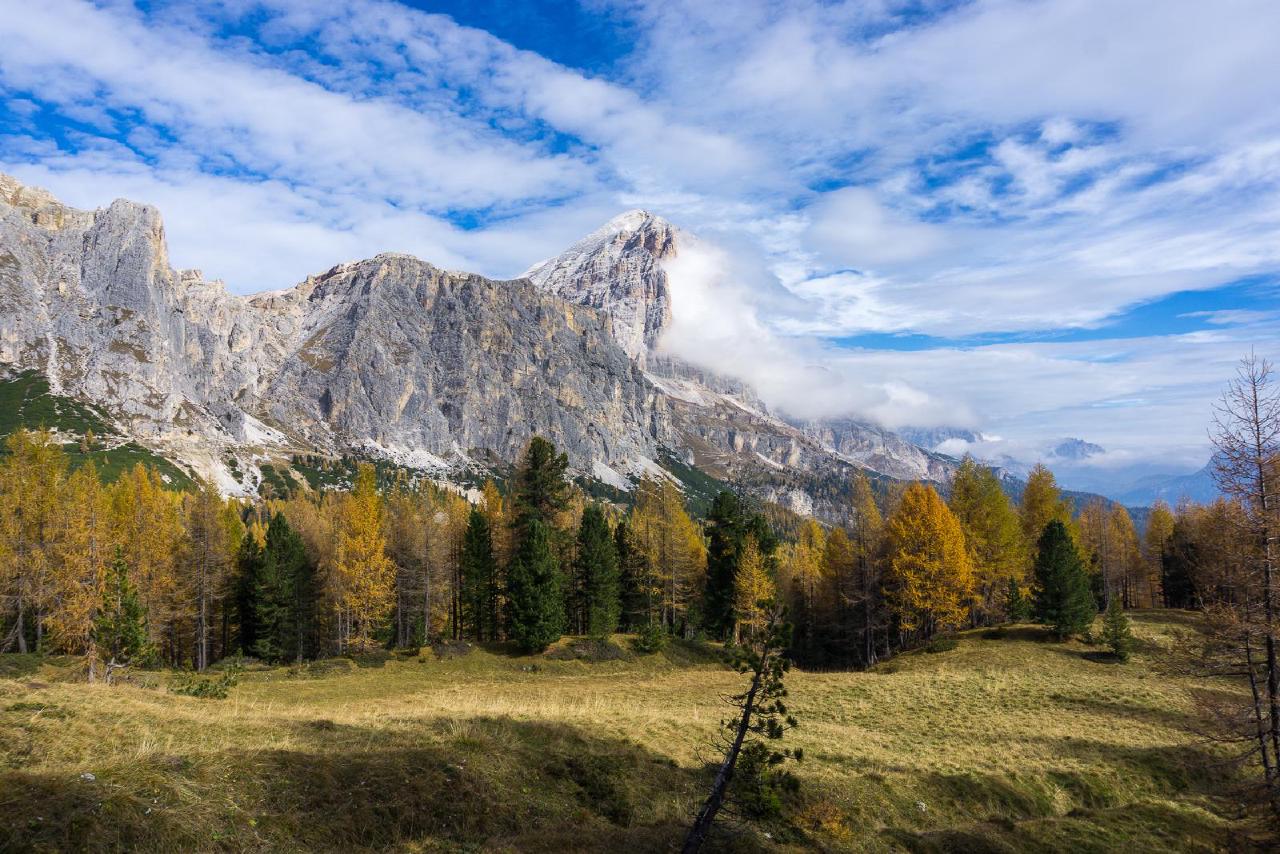
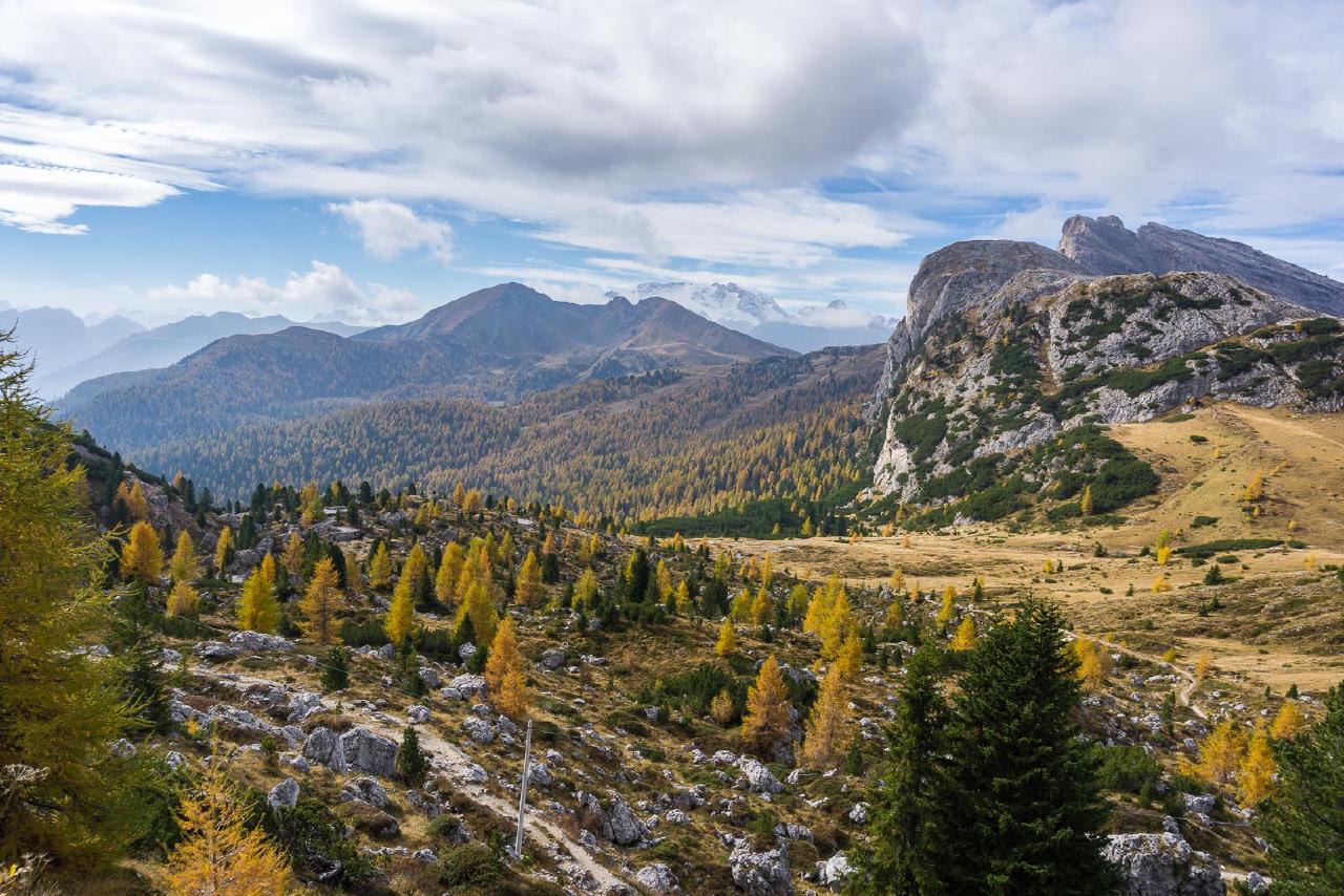
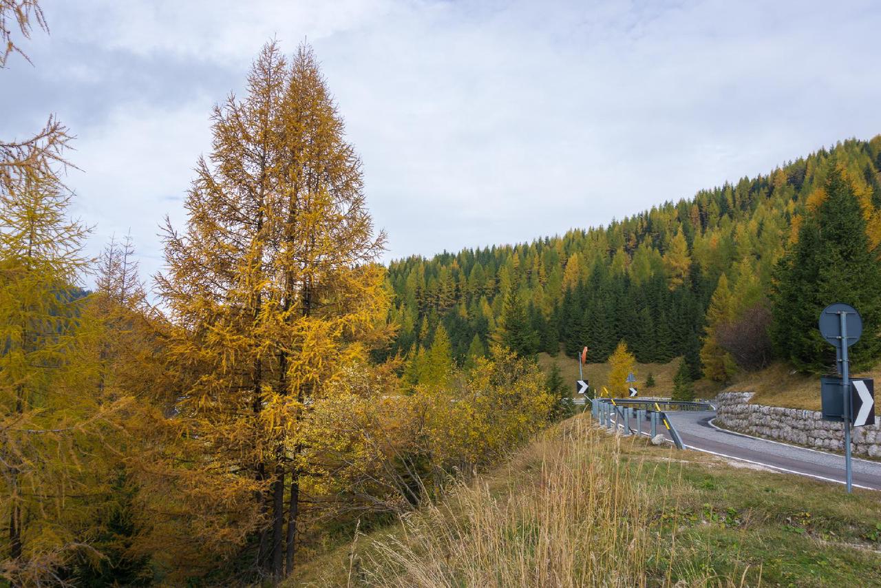
On one hand, the lake’s proximity to the parking area, the beauty of the surrounding area, and the easy hike make it a great spot for camping. The wooded area seems perfect for hammock camping, but I think setting up a tent would also be no problem.
On the other hand, we never actually saw the lake—apparently, it dries up at the end of the season. According to information from the official website of the region, it’s best to visit here in late June.
Drei Zinnen
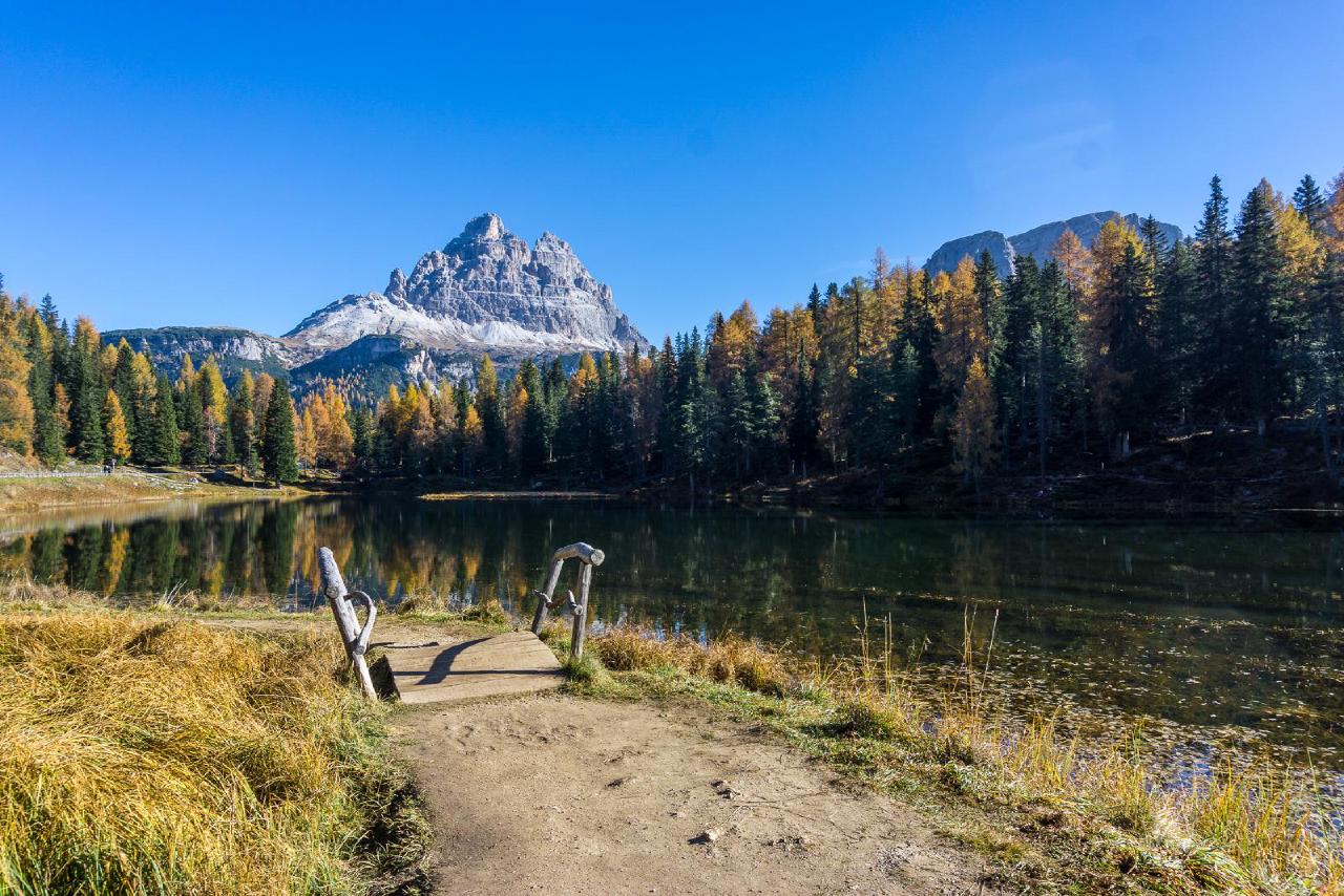
Unlike our previous winter hike when we approached the Three Peaks from the north, this time we decided to approach from the most touristy route—from the south, via the toll road. Before it starts, there’s one of the most beautiful and easily accessible lakes—Lake Antorno, which I’ve written about in another autumn post. This time, the weather was more cloudy and windy, but the walk around the lake was still enjoyable. The full loop takes just about 20 minutes, and the surrounding forest is simply magical.
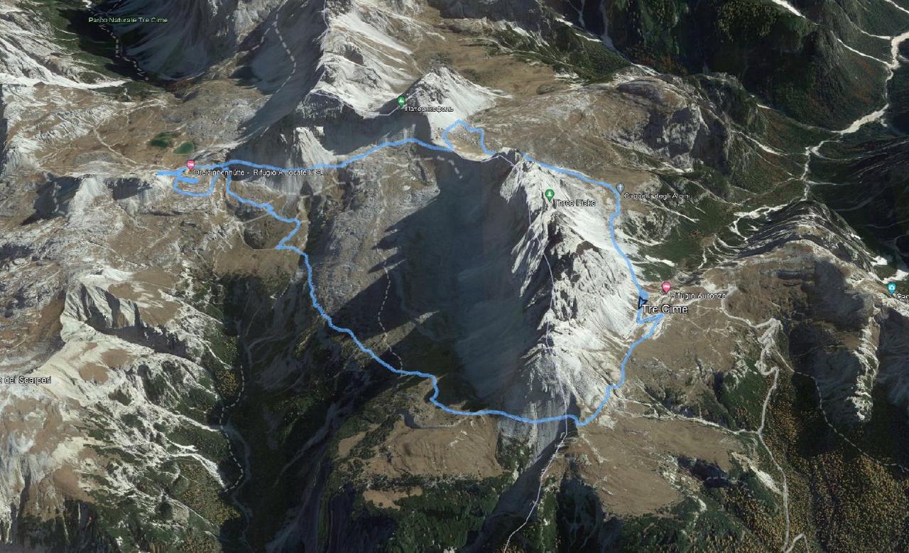
We started the hike at 3:30 PM and decided to go counterclockwise. After 1.5 hours of leisurely walking, we reached the hut and started looking for a place for the tent. A couple of prime spots were already taken—we were not the only ones who wanted to camp wildly.
In the end, we set up camp in direct view of the hut—at point 46.63627, 12.30942. It was acceptable. The best spot, in our opinion, was a little further east, on a ledge—a bit more secluded, with an excellent view.
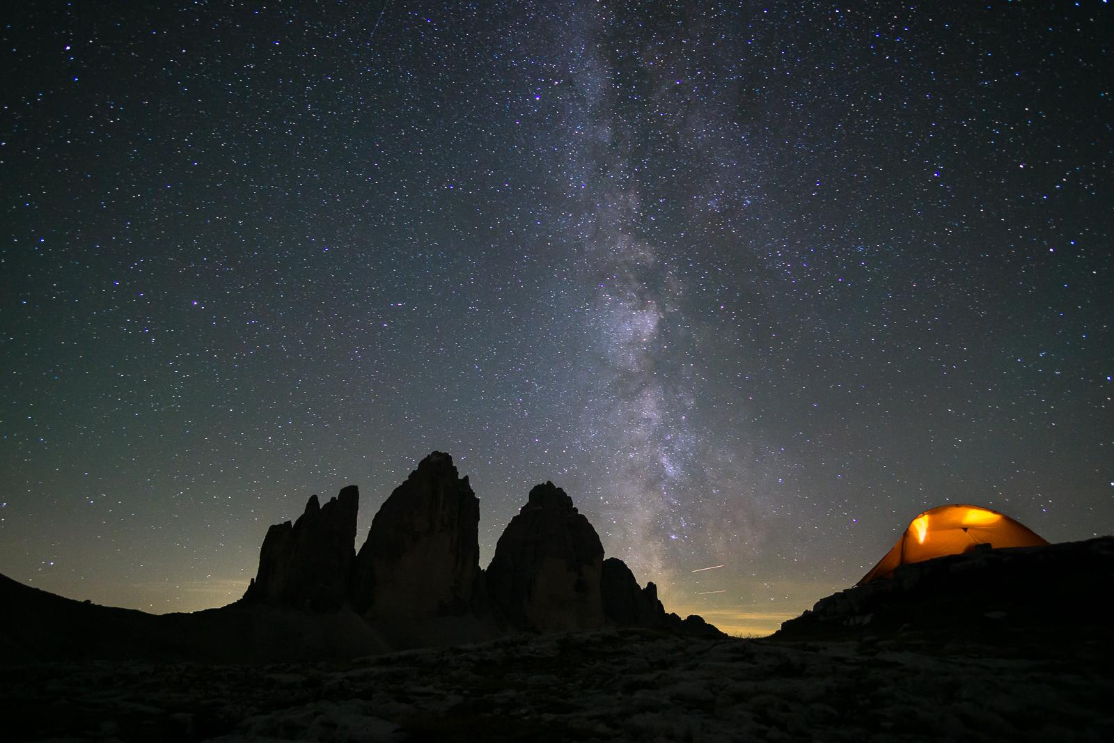
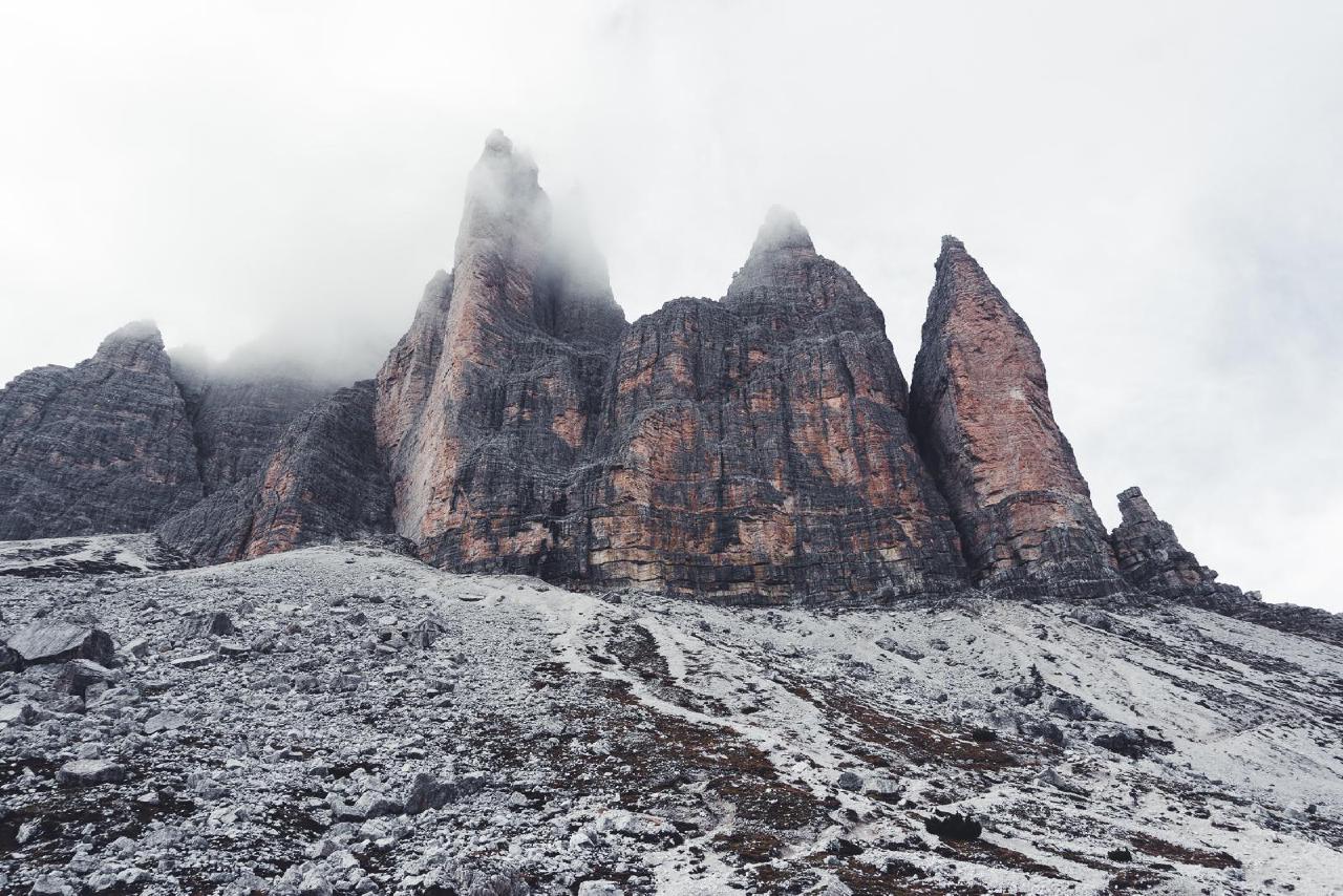
Just as we finished dinner, the sun began to set. The clouds hiding the mountains parted—and finally, we were treated to that traditional, postcard-perfect view of the Three Peaks.
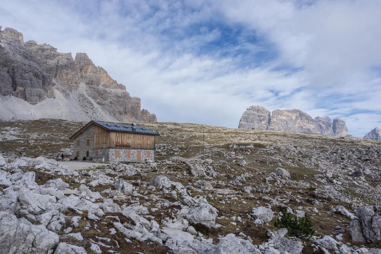
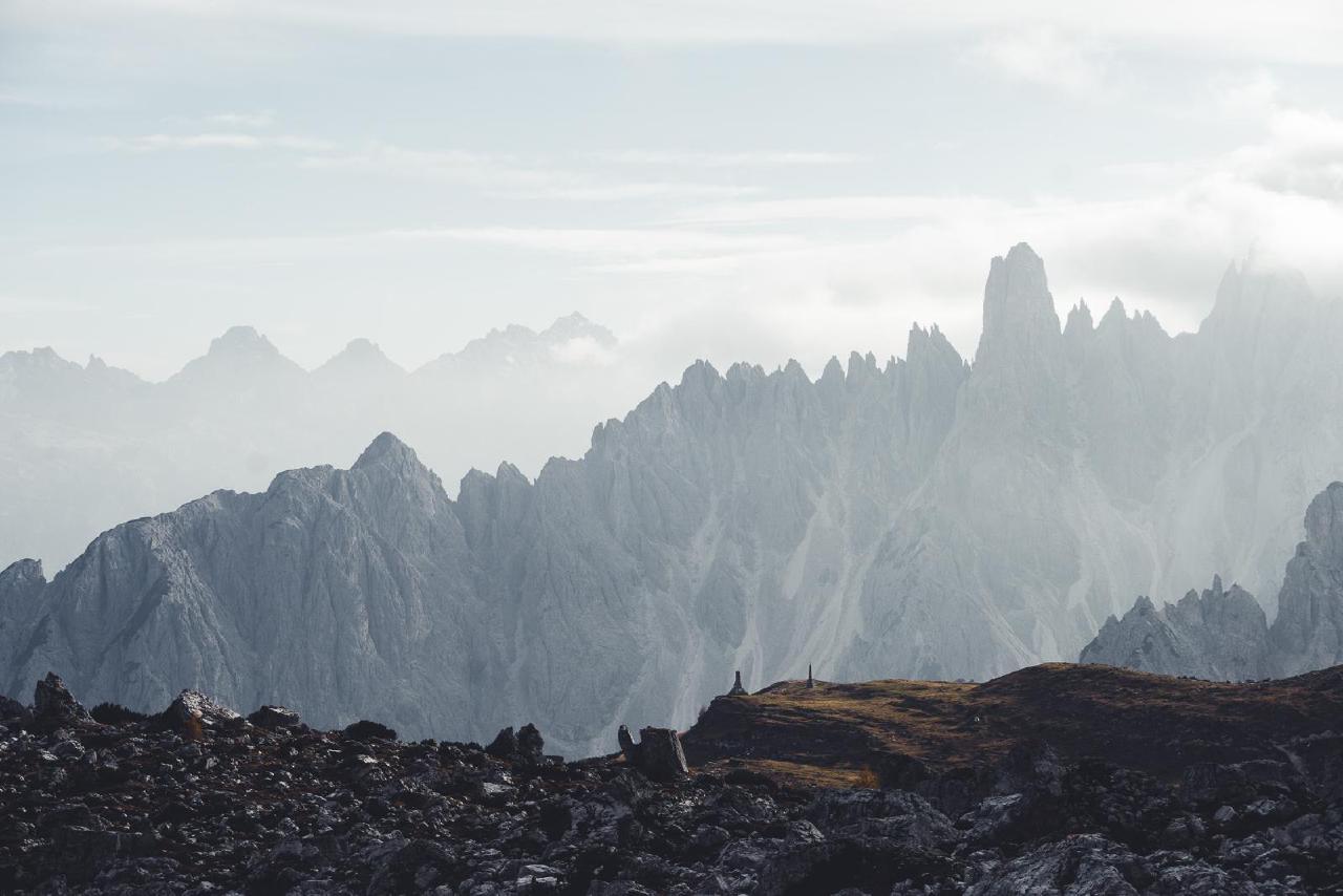
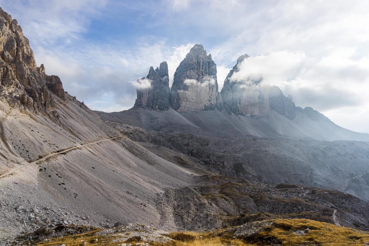
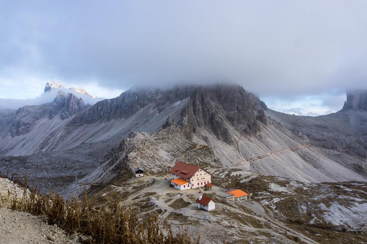
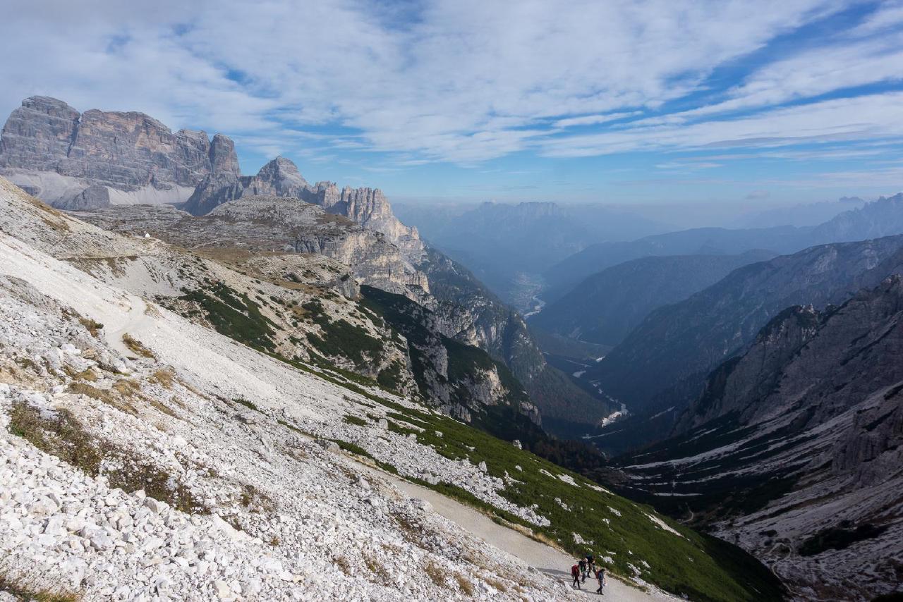
The evening flew by in conversation, and soon it was time for astrophotography. Unlike the cloudy day, the sky was perfectly clear now, and we had a stunning view of countless stars and the bright, clear Milky Way. I shot enough in 20 minutes and then headed back to the tent to warm up and sleep.
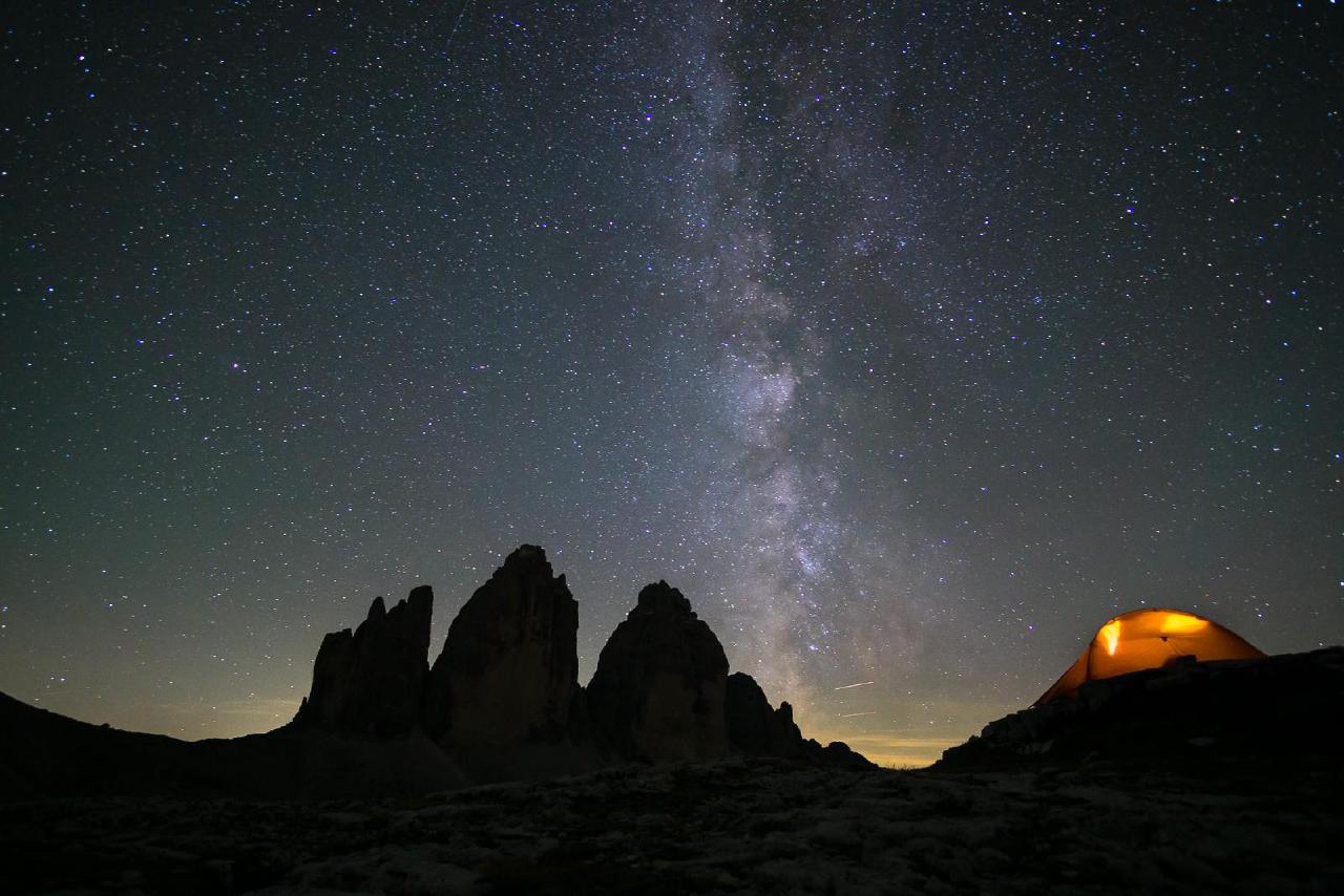
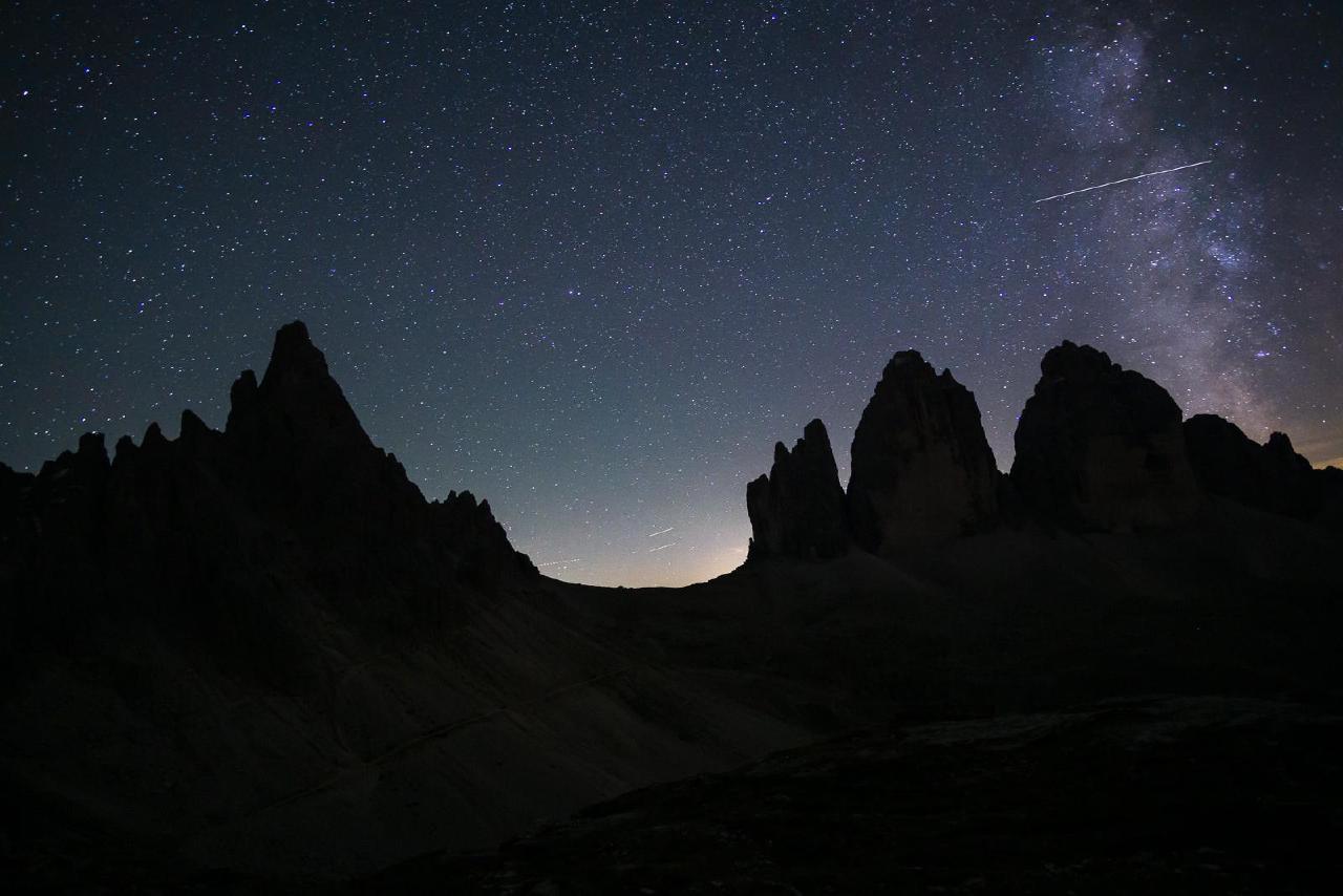
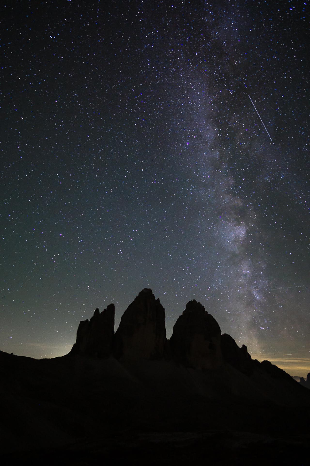
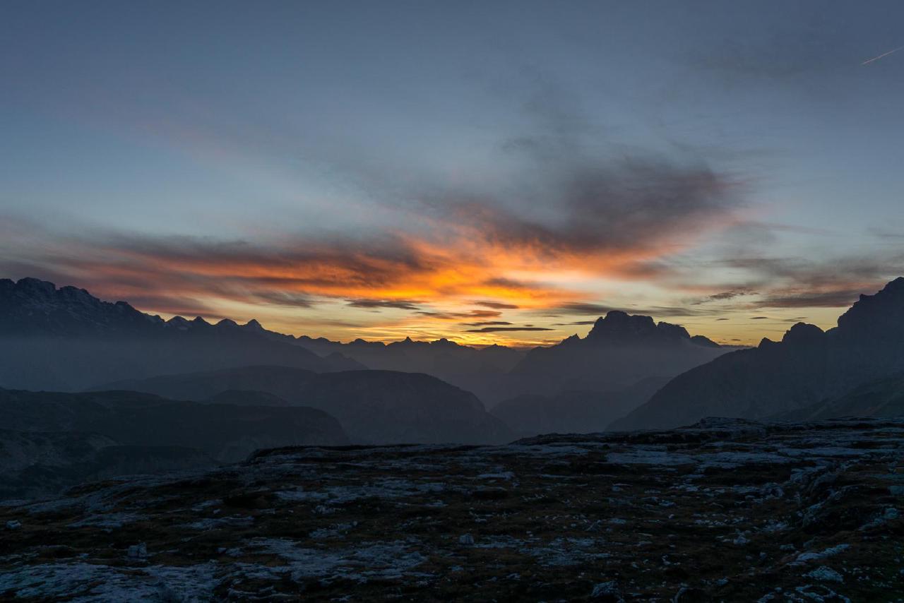
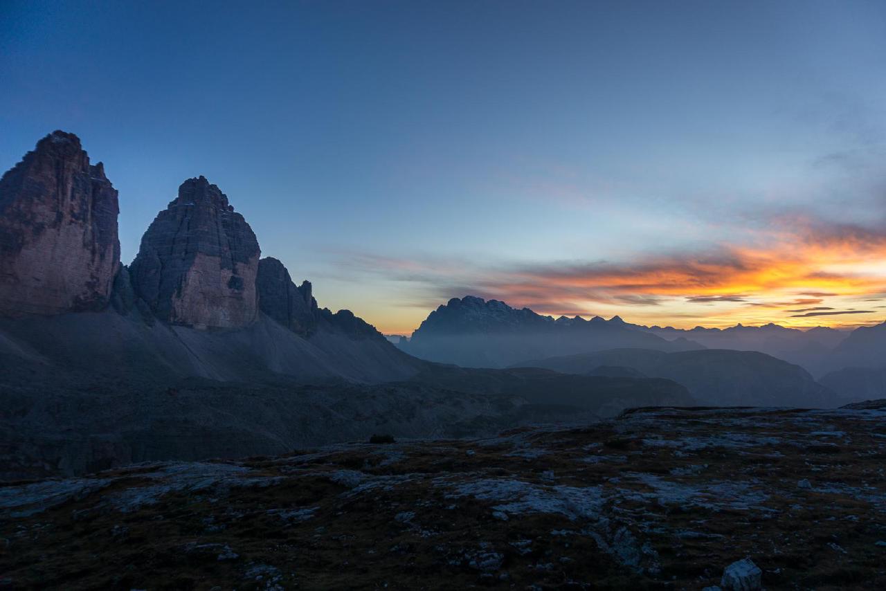
The morning in the mountains, as expected, was refreshingly crisp—if not “frosty.” While I made breakfast, Nadia quickly ran to the cave above us to stretch and leave behind our torn mat, which we had dragged along just for this—to leave it in the mountains for future hikers.
By 8 AM, we had packed up and were on our way back. I had hoped to fill up with water at one of the next huts, as there was a marked spring on the map, but it wasn’t working. It may have frozen—on one of the shady sections, we saw puddles covered with a thin layer of ice.
By 10 AM, we were in the car. Apparently, the western part of the hike was a little longer and/or more difficult than the eastern section.
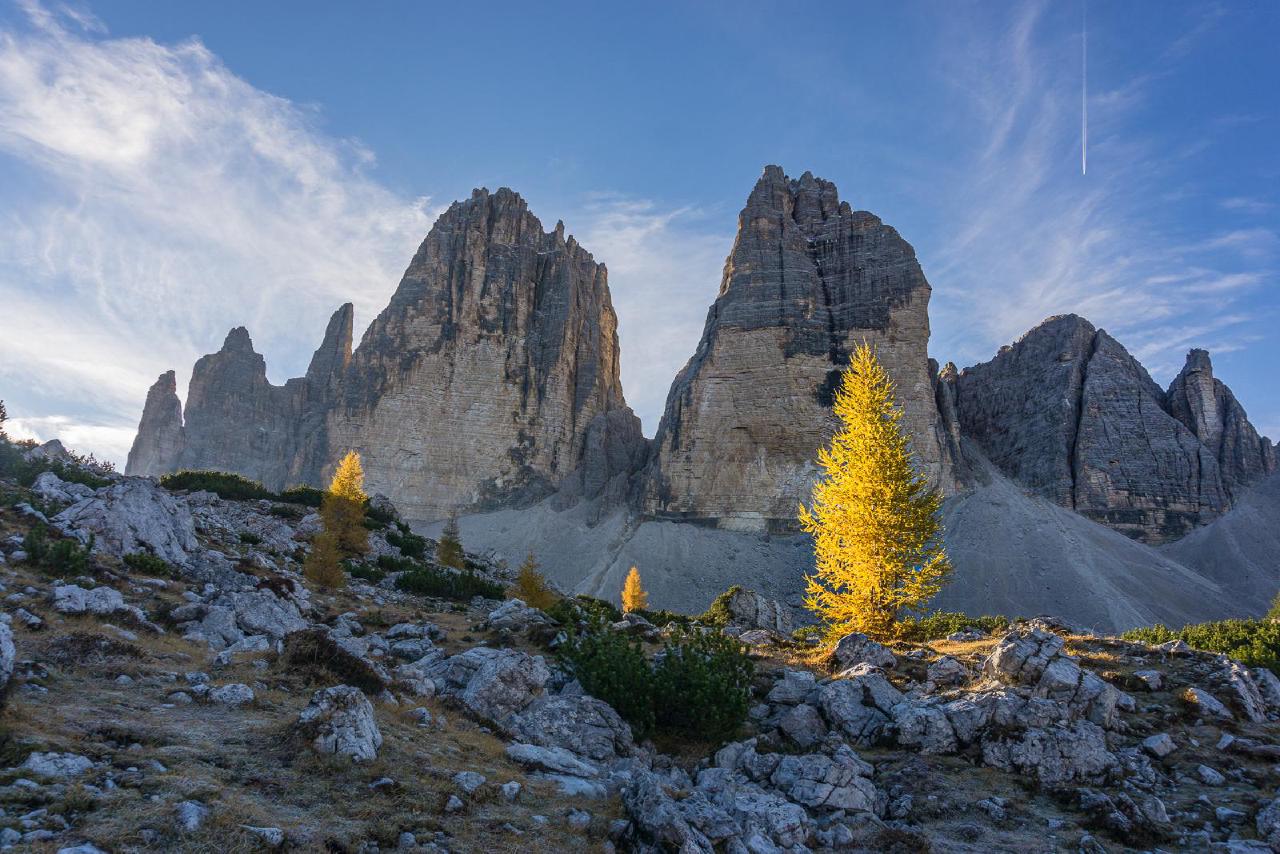
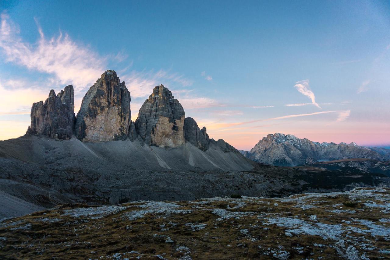
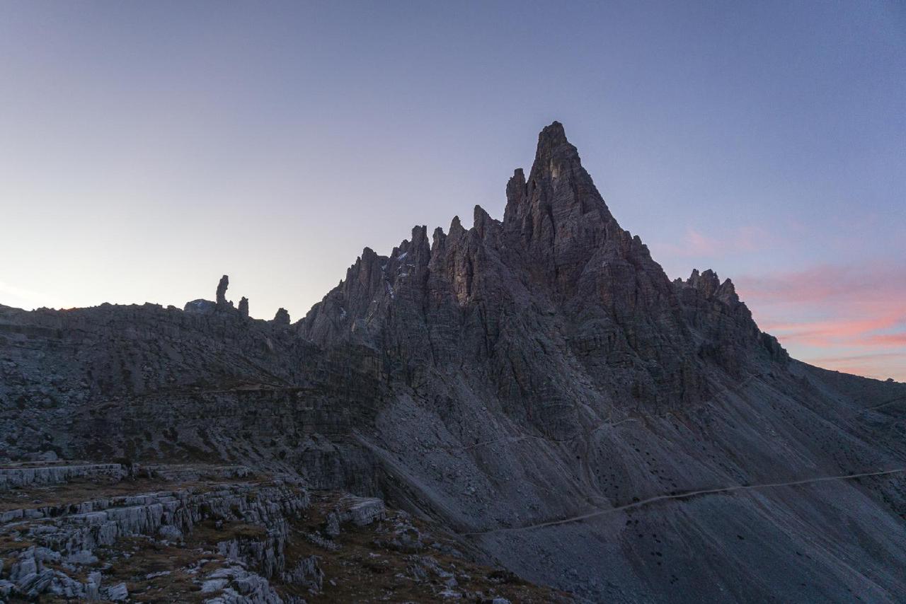
In conclusion, I would recommend this hike from the south if you’re looking for top-notch, spectacular views along with an easy walk. Even though there’s a fair amount of elevation gain, the hardest single ascent was only about 100 meters. Overall, the hike was varied and not tiring at all.
However, the expensive toll road makes you think about possible alternatives. For example, you could come with an e-bike and ride it up for free, leaving your car at Lake Antorno—just like my Austrian friend once did.
Technical Details
The hike was relatively easy and pleasant, with a beautiful view. We camped quite close to the hut, and someone was walking nearby in the evening, which was a bit scary.
Money Spent
- 100 EUR — fuel. The price in Austria in October 2022 was about 1.75–1.78 per liter.
- 60 EUR — toll road (30 × 2). Over the past few years, the price has risen significantly, and much stricter restrictions have been introduced. Apparently, back in 2017-2018, there was no barrier, and you could drive for free during off-hours. Even during paid times, the fee was only charged once—for entry. Now, there are barriers in both directions, and the fee is 30 euros per car per day (not per 24 hours!). So, if you camp overnight, you pay for both days.
- Food — from hiking supplies, no exact accounting.

