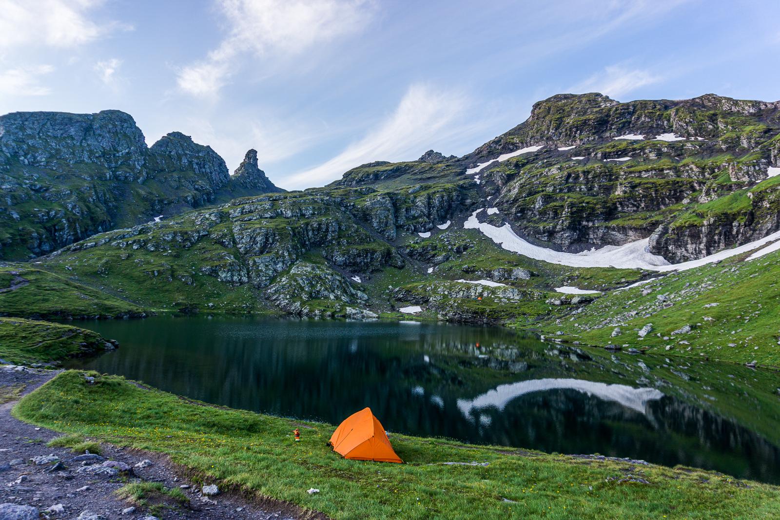
Another weekend, August is here, so it’s time to figure out where to go next. After a short search, I came across a hike around the five lakes of Pizol in Switzerland. The route seemed short and easy — perfect for a weekend with a tent.
I spent the first half of Saturday sightseeing around Switzerland — there’s a separate post about that.
The Lakes of Pizol
While walking through the Bad Path canyon, I almost forgot I still had to hike. I arrived at the nearly empty parking lot after 4 PM, quickly packed up, and headed uphill. But since the elevation gain before the hike even starts is huge, it usually makes sense to take the cable cars. First, a gondola-style cable car, then a chairlift, and then another chairlift. A round-trip ticket for the first cable car alone costs 34 francs (outrageous!). But boldness pays off — I tried using the same ticket to get on the second lift, which was already closing. I acted confused, said, “Here’s my ticket, no idea why the gate won’t open,” called over the guy closing the door, and he just waved me through. And just like that, I reached the mid-station.
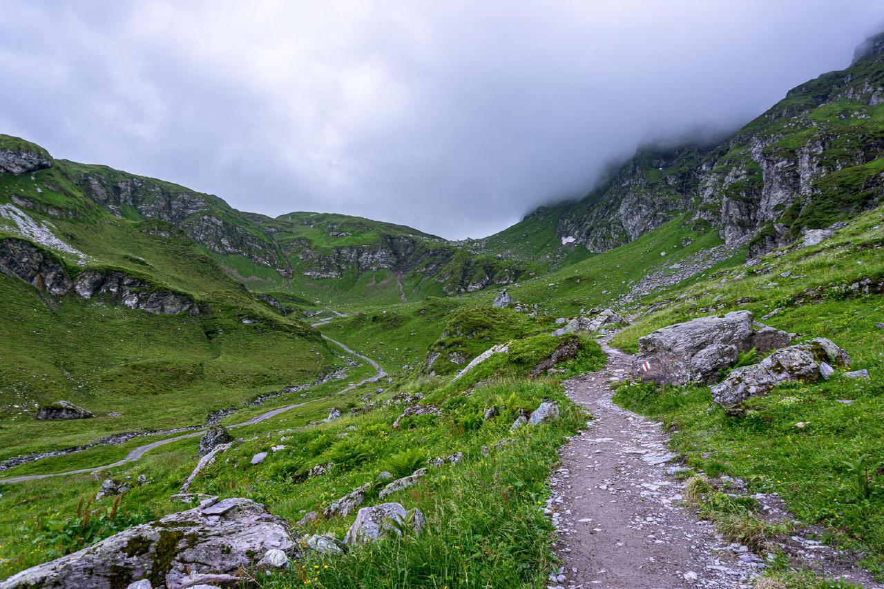
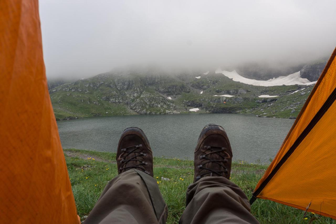
Even though this hike typically starts at the upper station and goes clockwise, I decided to do it in reverse. First, going uphill is better for the knees. Second, going “against the flow” helps when there are crowds — and I’d read that this trail is very popular. I hadn’t seen anyone yet, but just in case, I started hiking right away. The weather was so-so — no rain, but thick fog. At least the temperature was nice: while it was hot down below, up here it was cool and refreshing. Perfect hiking weather.
Baschalvasee and Schwarzsee
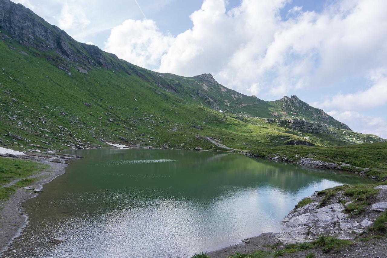
The Pizol Five Lakes Hike is called that — surprise! — because it passes by five lakes of varying beauty. The first one, Baschalvasee, didn’t exactly wow me — hidden in the shadows of the setting sun — but it still made for a good spot to rest. The trail then climbs higher, briefly catching the last rays of sun before disappearing into fog. Out of the mist suddenly appear dozens of little stone cairns — a very mystical atmosphere!
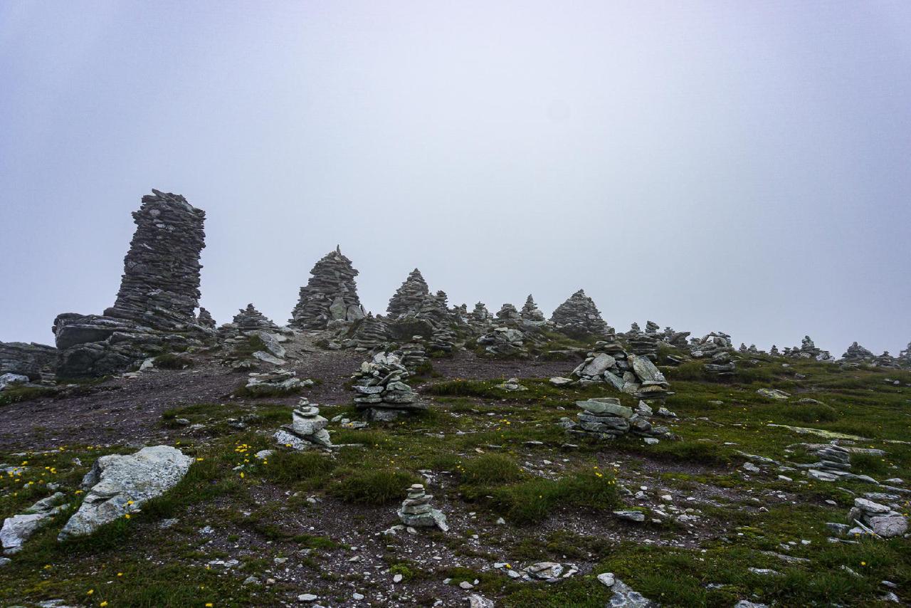
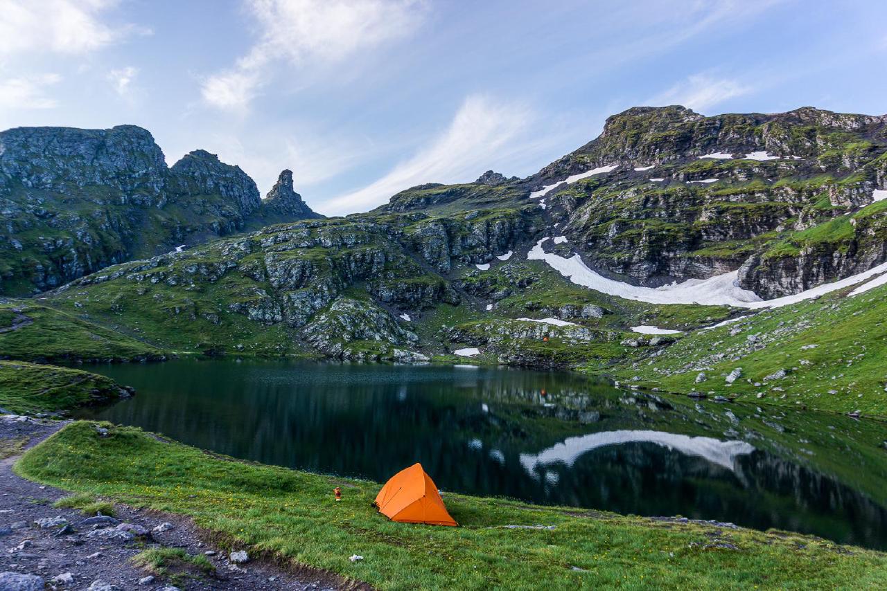
After passing the cairns, the trail descends again to the next lake, Schwarzsee. I noticed several tents near the lake — I wasn’t alone. I counted at least three campsites besides mine. Since it was nearly 8 PM and the sun was setting, I decided to stop here for the night. I pitched my tent on a small hill by the lake (elevation 2370 m), made tea, and went to meet the neighbors.
A man with a dog in a nearby tent quickly ducked inside, but nearby there were two girls and a young girl (daughter?). They didn’t even pitch a tent — just laid out sleeping bags on the ground. What surprised me even more — they made a campfire. True, there’s not much fuel at high altitude, but they gathered some planks and random sticks. When I asked (in surprise) if that was allowed, they said something like “Why not? It’s not a forest.” I double-checked — and yep, they were locals, from a town a few dozen kilometers away. So in Switzerland, this is totally normal. So much for “Europe” and “no campfires” — turns out it’s just fine!
Schottensee and Wildsee
Why are these people still sleeping???
Trail thoughts, 7:30 AM
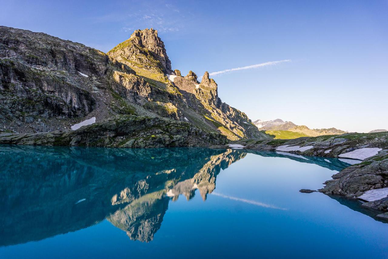
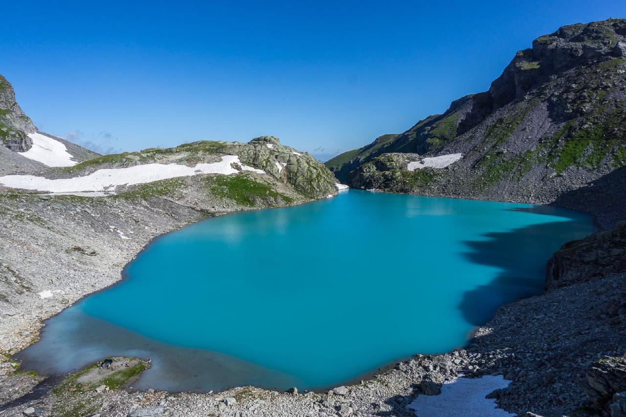
As we like to say, “morning is wiser than evening”. The fog was gone, just a few clouds in the sky — the day looked promising. A hot breakfast, some cocoa, and at 6:40 I hit the trail again. A short climb and a traverse past some energetic bleating sheep, and after an hour I reached the crown jewel of the trail — Schottensee. Unlike the greenish “swamp” that was Baschalvasee, this was a turquoise mirror, reflecting the mountains in the morning light. I saw several tents and only one person awake. Why are these people still sleeping??? The sun’s already up, the cable car will start running in a few hours, and the crowds will flood in. Why, why are you still sleeping? I don’t get it.
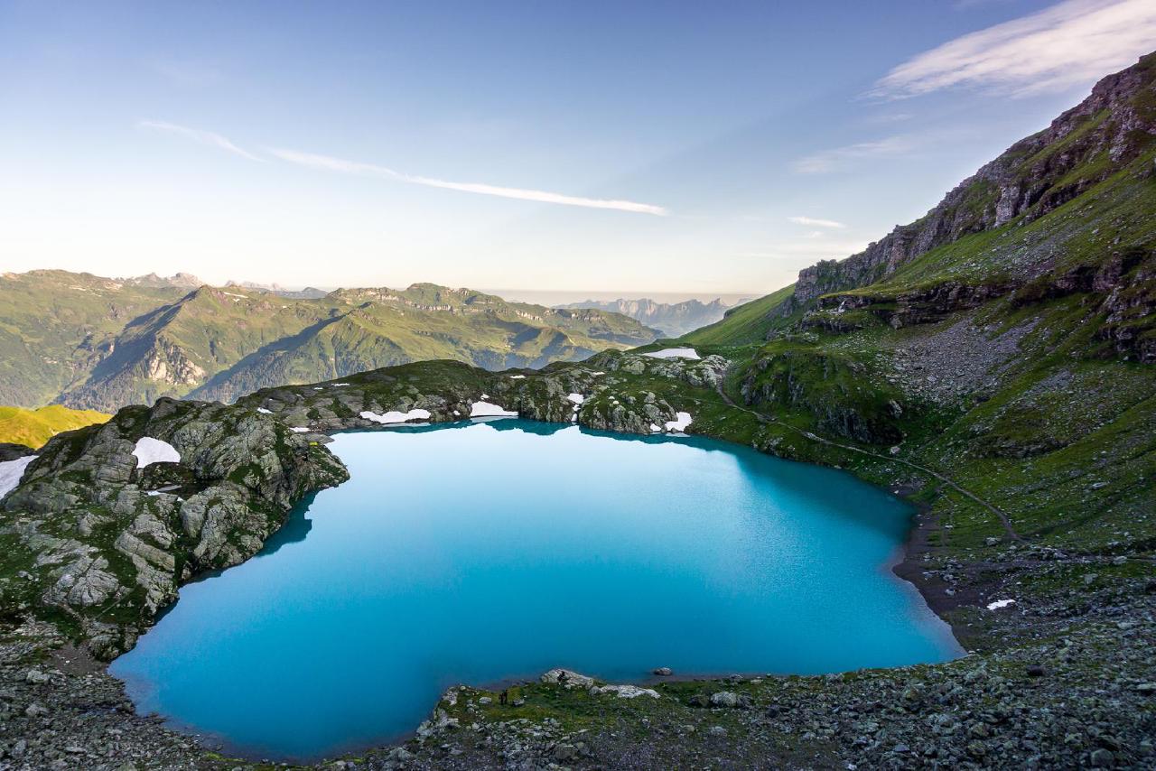
Another 120 meters of climbing and by 8:30 I reached the largest lake on the route — Wildsee. At the fork in the trail, one path led down to the upper cable station, while the other continued along the lake. Since the hike officially ends after the station, I decided to extend the pleasure a bit and walk around the lake. Honestly, I even considered climbing Mount Pizol (2844 m) — from the lake (2490 m), it wasn’t that far, but laziness won. So I settled for a walk around the lake and a second breakfast. I also hid a geocache here and saw another tent. I couldn’t tell if it was occupied though — by 9:30 the sun was heating everything up, and in a black tent I’d be cooking. But no one came out.
Descent and Wangersee
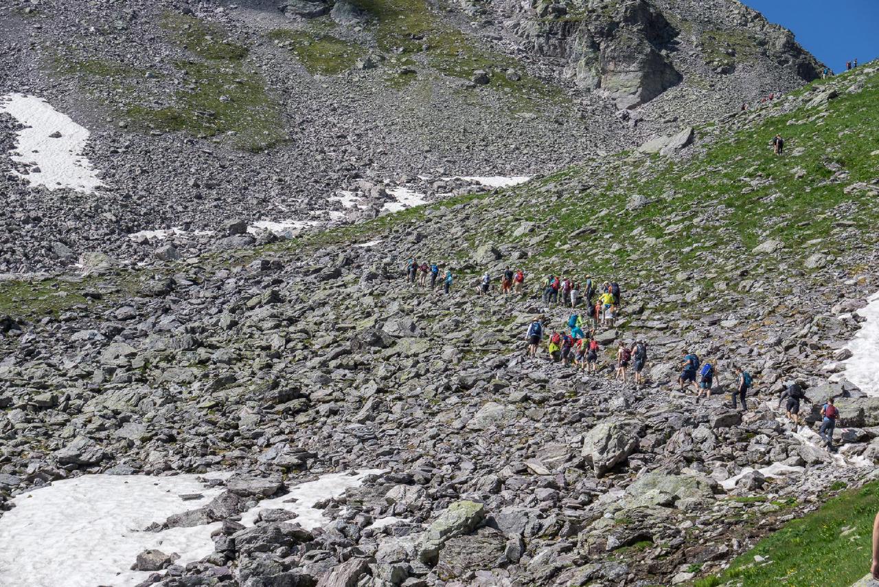
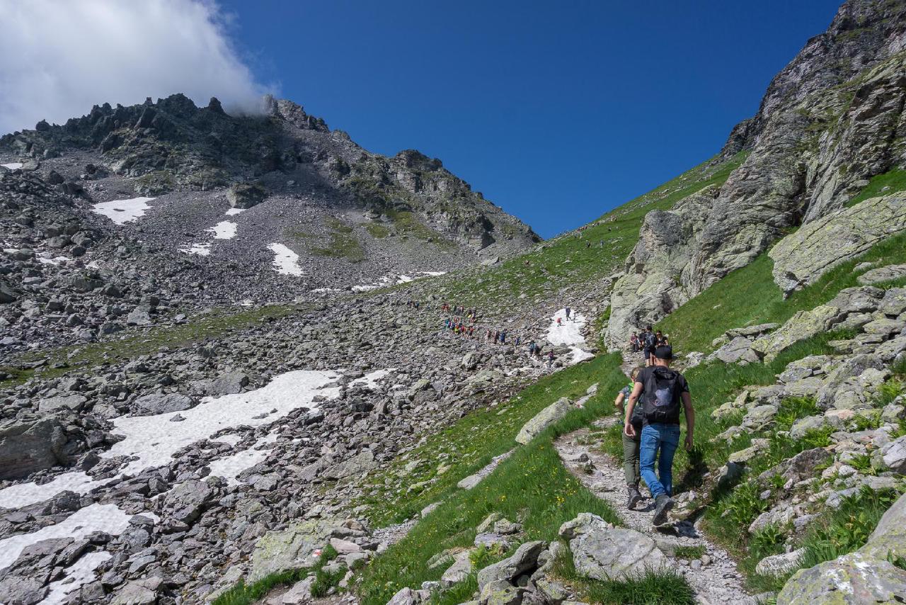
After covering about 3 km in an hour, I decided it was time to wrap things up and head down. Especially since people were starting to appear — I was done here. I returned to the fork and… I was not prepared for this. Yes, I’d read that this hike is popular… but… this hike is REALLY POPULAR! Fighting my way downhill “against the current” of an endless stream of hikers, I tried to capture the madness. I had no idea how bad it would be. For me, the hike was basically over, so I just tried to erase this part from memory. I did reach the last lake, Wangersee, near the cable car, but it wasn’t anything special — especially surrounded by crowds.
To get back down, I relied on my tried-and-true bold strategy — “Here’s my ticket. Oh, it doesn’t work? It’s the wrong one? Okay, I’ll buy the right one, but I only have a card, no cash. The terminal is down at the base station? Yeah, sure, I’ll pay there.” Two chairlifts, one gondola, and I was at the bottom. I figured my 34 francs were enough of a donation to the SKD (Swiss Cableways ^_^) and walked back to the car with a poker face. Summer heat was already building down below, so I changed into shorts, finished the last of my water, and changed into shorts, finished the last of my water, and set the GPS for “Munich.”
Technical Details
Expenses:
- 36 CHF for the cable car to Diavolezza
- 34 CHF for the cable car to Pizol
- 5 CHF to enter a church
- 20 EUR on groceries at the supermarket (probably less than half for the trip itself — the rest was just good Swiss prices, so I stocked up for home)
- 80 EUR for gas
Total: 170 EUR — quite a bit more than my usual weekend trips, but that’s the price of Swiss Cableways. I don’t take cable cars often, so once per season — why not treat myself?
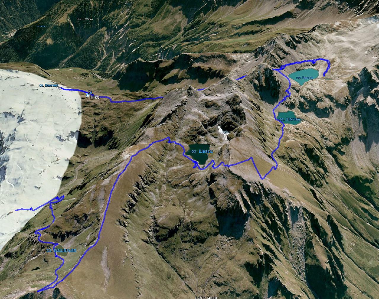
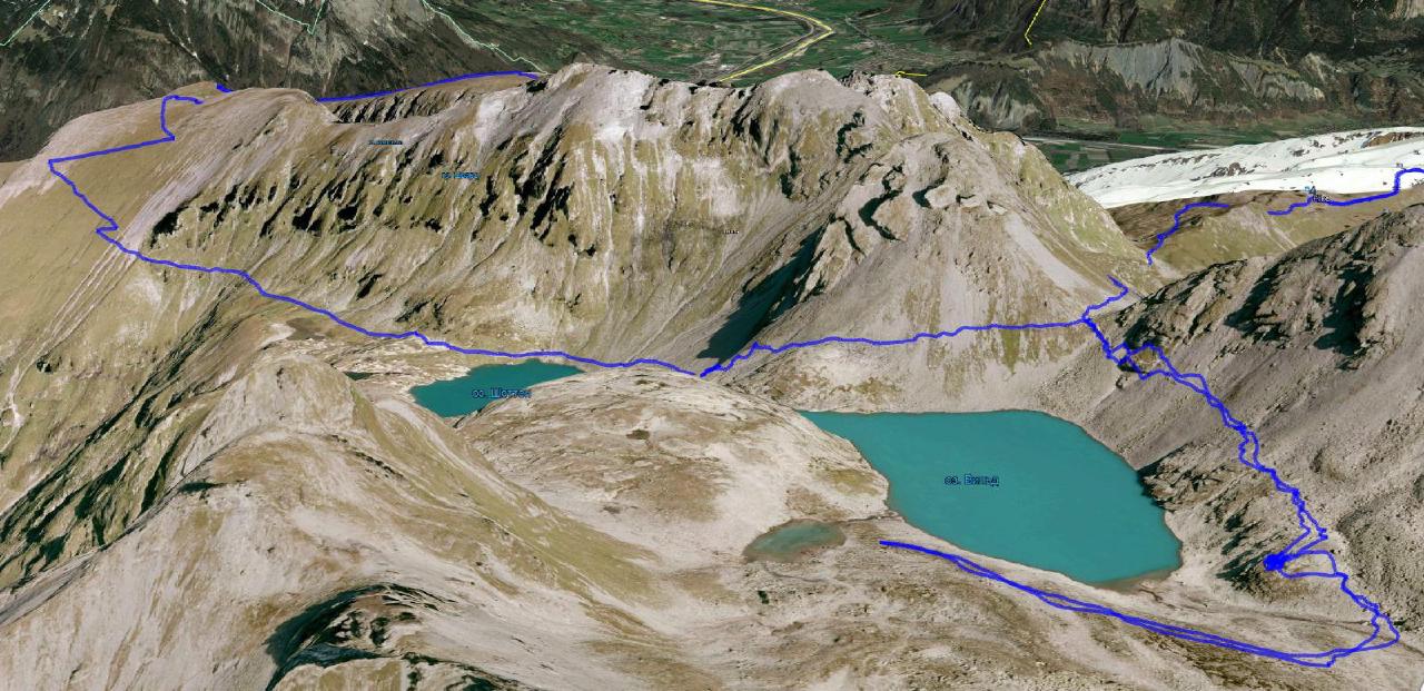
I covered about 14.5 km with a backpack. Elevation gain ranged from 1860 m to 2530 m. For me, that’s an ideal distance and elevation for a weekend overnight trip. Maybe even a bit longer would have been fine. The route itself goes up and down with no truly exhausting climbs. It’s varied and interesting — from green meadows to rocky alpine landscapes.
But one very important note: start in the evening and aim to finish by 10 AM. Otherwise, you’ll be stuck in a never-ending human traffic jam. Trust me, that will ruin the whole experience.
