Switzerland
In 2025, the German holidays aligned so well that I ended up with a long four-day weekend for my birthday. Although I had already been to Switzerland (both with a tent and without), I had never made it to the Matterhorn - it’s just too far to reach on a regular weekend. So, the decision was made - we’re going to Zermatt!
While planning, it turned out that four days was actually quite a lot, so we set aside one day for the Gelmerbahn - the steepest funicular/train in the world. And another day - for the Matterhorn itself and Lake Riffelsee, which offers the best view of the famous mountain.
June 19 – The Way Up
The story with the Gelmerbahn turned out to be interesting. The carriage has a very limited capacity - just 24 people - and tickets are sold in advance for both the ascent and the descent. Naturally, in the morning all tickets for going up are sold out, and in the evening - for going down. We considered taking the next available ascent (there were tickets for 12:00), or hiking up on foot and taking the funicular down before lunch. But we still wanted to experience both the ascent and the descent - and what does that mean? It means we’d have to spend the night up there in a tent. That way, there would be hardly anyone around, and buying tickets wouldn’t be a problem - no one wants to go up in the evening, and no one wants to go down in the morning.
We left early in the morning, around 7 AM, and got the last tickets for 15:48. That gave us about 8 hours for the drive, and Google was showing roughly 7. So, a bit of a buffer, but not enough to allow for a proper stop along the way - we had to drive in one go. We stopped just twice: once at a cheap gas station in Austria, and once more at a mountain pass in Switzerland to switch drivers. Driving through the passes is great - when there are just one or two. But once you’ve done three in a day, it starts to get tiring. You drive slower, fuel consumption is higher, the destination on the GPS isn’t getting any closer, and even the snow-capped peaks outside the window stop being impressive. We passed by Suvorov’s Pass (St. Gotthard), went through Furkapass and Grimselpass, and we were nearly there.
At the parking lot, we packed our backpacks, gathered everything we needed for the night in the mountains, and slowly headed toward the funicular. Due to some tunnel construction or repair work, everything was a bit dug up, so we had to walk a short distance to the lower station from the parking area. The official website describes it as “a staircase and 20 minutes,” but in reality it’s less than 10 minutes and nothing difficult at all. At the ticket counter, we had to exchange our online booking for actual tickets for the ride up. A friendly staff member noticed that our return was booked for the next day - apparently she looked at our backpacks and easily put two and two together: she asked if we were planning to spend the night up there. But she only asked us to take our trash with us - nothing more. Since we arrived a bit early, we didn’t have to wait for the very last funicular - we could board any of the remaining ones, as there were no queues or crowds near the end of the day.
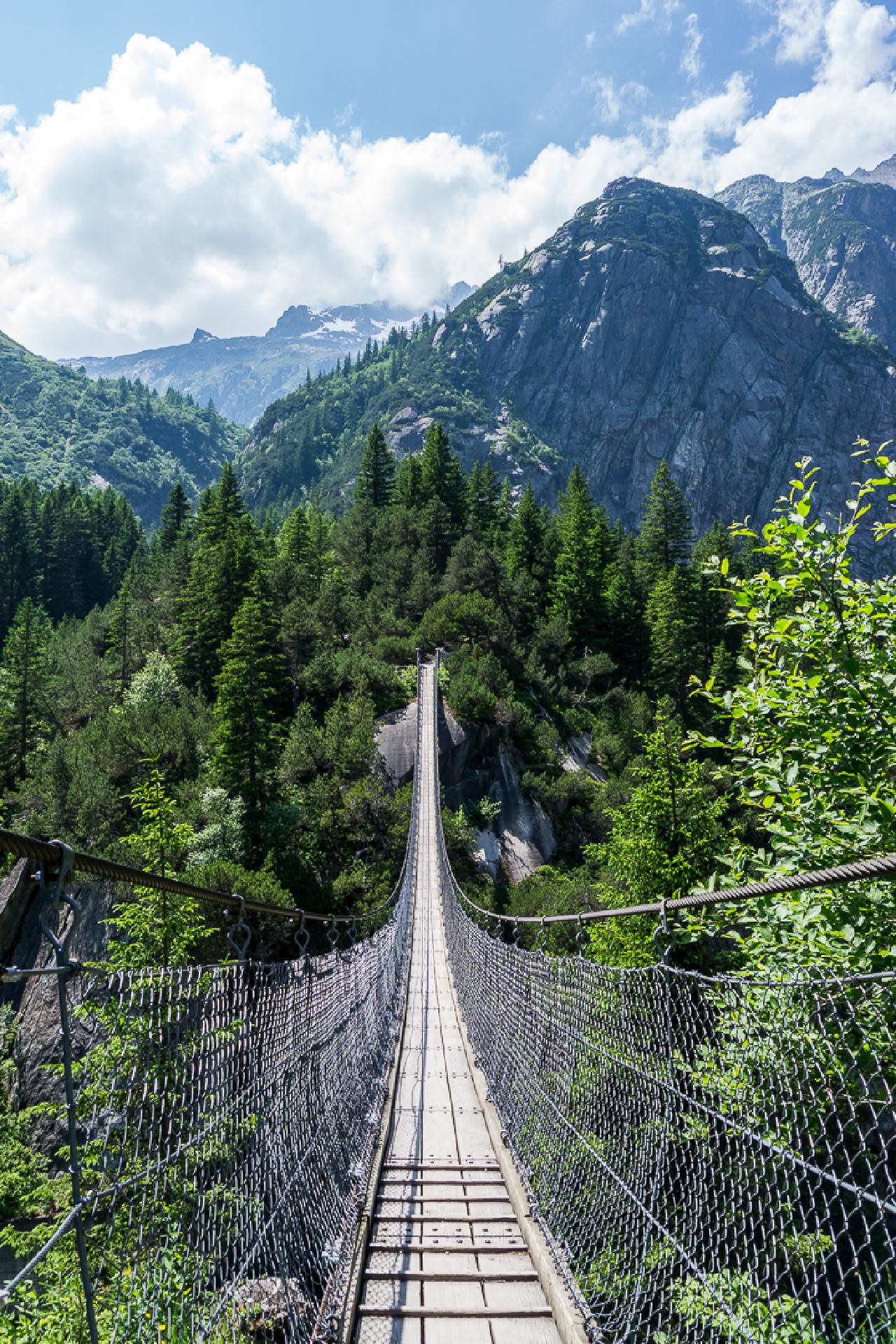
But before going up, we walked across a beautiful suspension bridge, signed the nearby geocache logbook, and watched a
carriage go up. From the outside it looks absolutely surreal - it’s climbing almost vertically, and it’s hard to
understand how it even stays on the track.
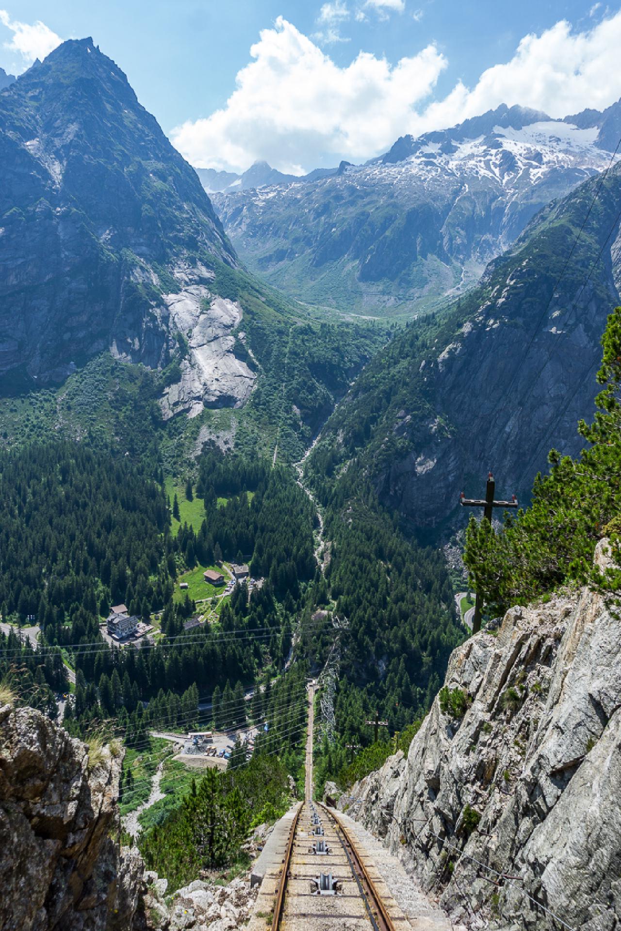
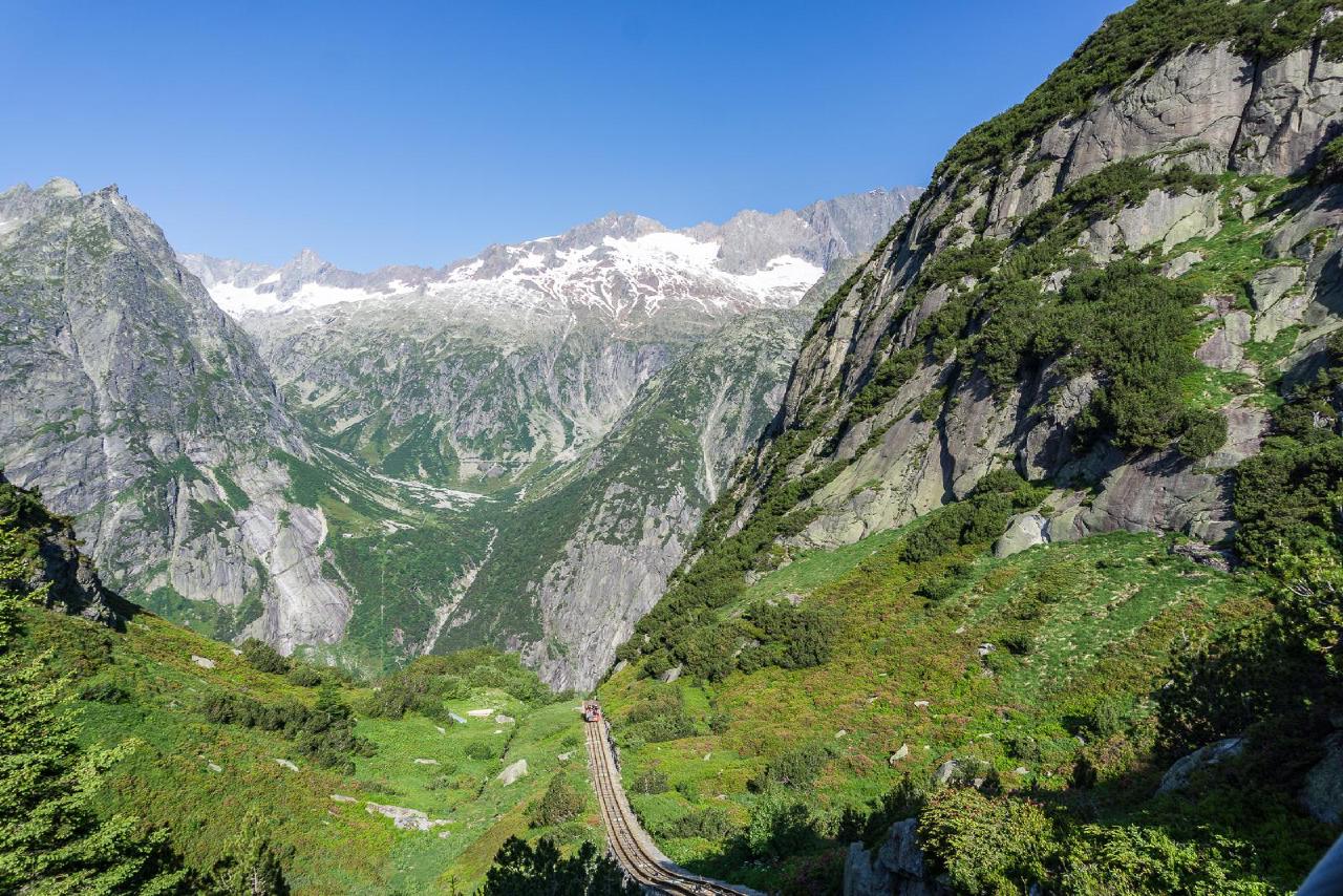
We took the second to last funicular car up and were the only passengers, so we could comfortably sit with our backpacks (generally, there isn’t much space, and with a full car, large backpacks simply wouldn’t fit) and watch the surroundings. At first, nothing special, but the higher you go, the steeper the ascent becomes, until at some point you start to feel like gravity is pulling in the opposite direction =). Since everything is open and the only thing separating you from the outside world is a safety bar in front of the seat, the sensation is especially intense. Overall, the 20 Swiss francs for a one-way trip are definitely worth it.
At the top, you immediately notice fresher air - none of the heat that was down below. Unfortunately, this season it’s not possible to walk around the lake in a full circle - half the trail is closed due to a rockfall. So the plan was simple: first walk to the nearest end of the trail, scouting for places to pitch the tent. Then walk to the far end and, if possible, set up camp there, but if that didn’t work out, return to the spots found earlier. We had already scoped out a few potential flat spots at home, since a significant portion of the trail runs directly on rocks and slopes, where camping is simply impossible even if you wanted to.
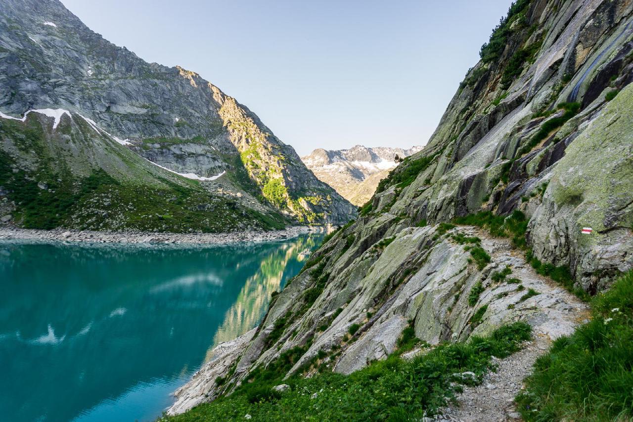
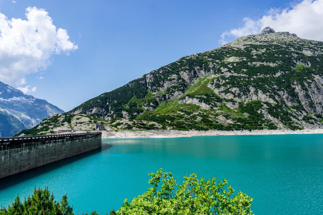
The first part of the hike was easy-the trail is very flat, almost like a highway, and easy to walk on. We reached the dam, looked at the “rock painting,” i.e., “stone art”: dozens of inscriptions made from small stones below. As expected, there were potential camping spots at the far end of the dam, but it was still too close to civilization, so we turned back and went further along. The path “to the left” looked much more like a hike - no flat trail here, just protruding rocks, stone steps, and almost a cliff side dropping off to the lake on the right.
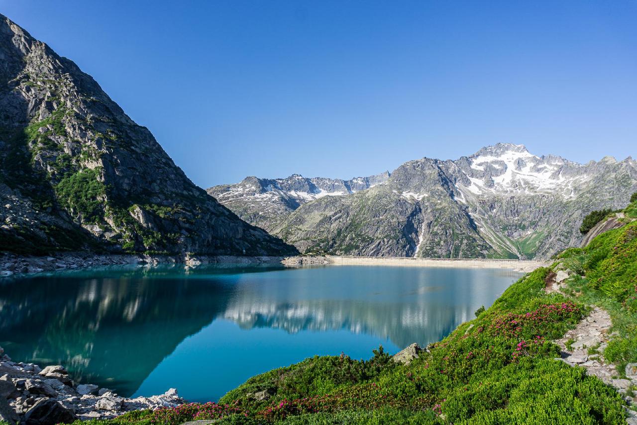
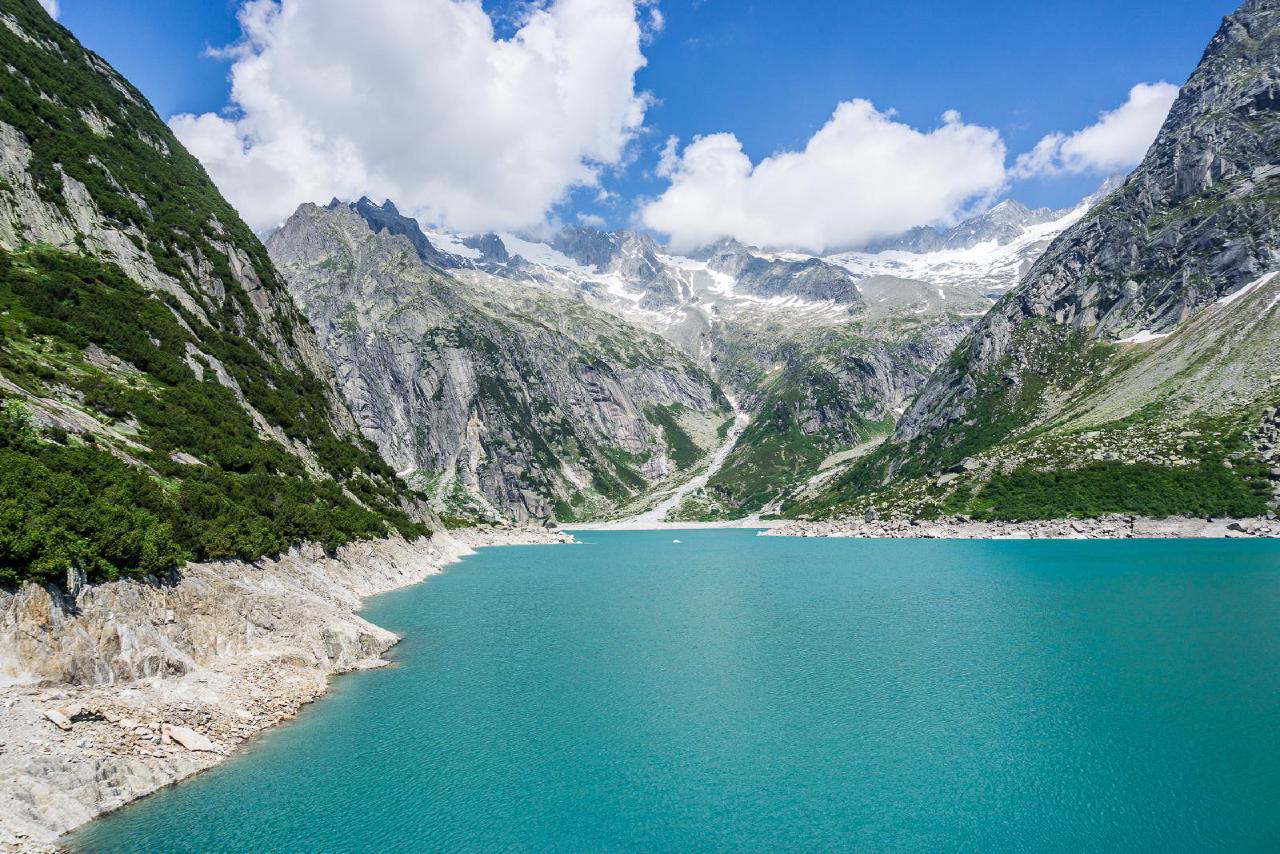
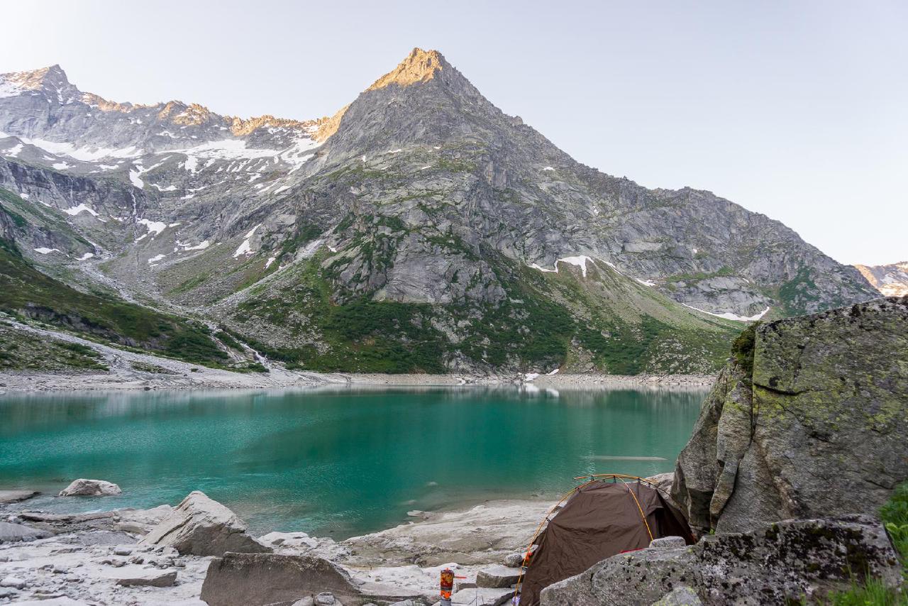
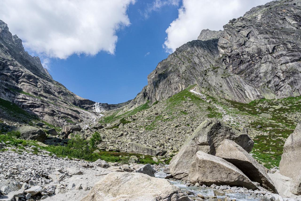
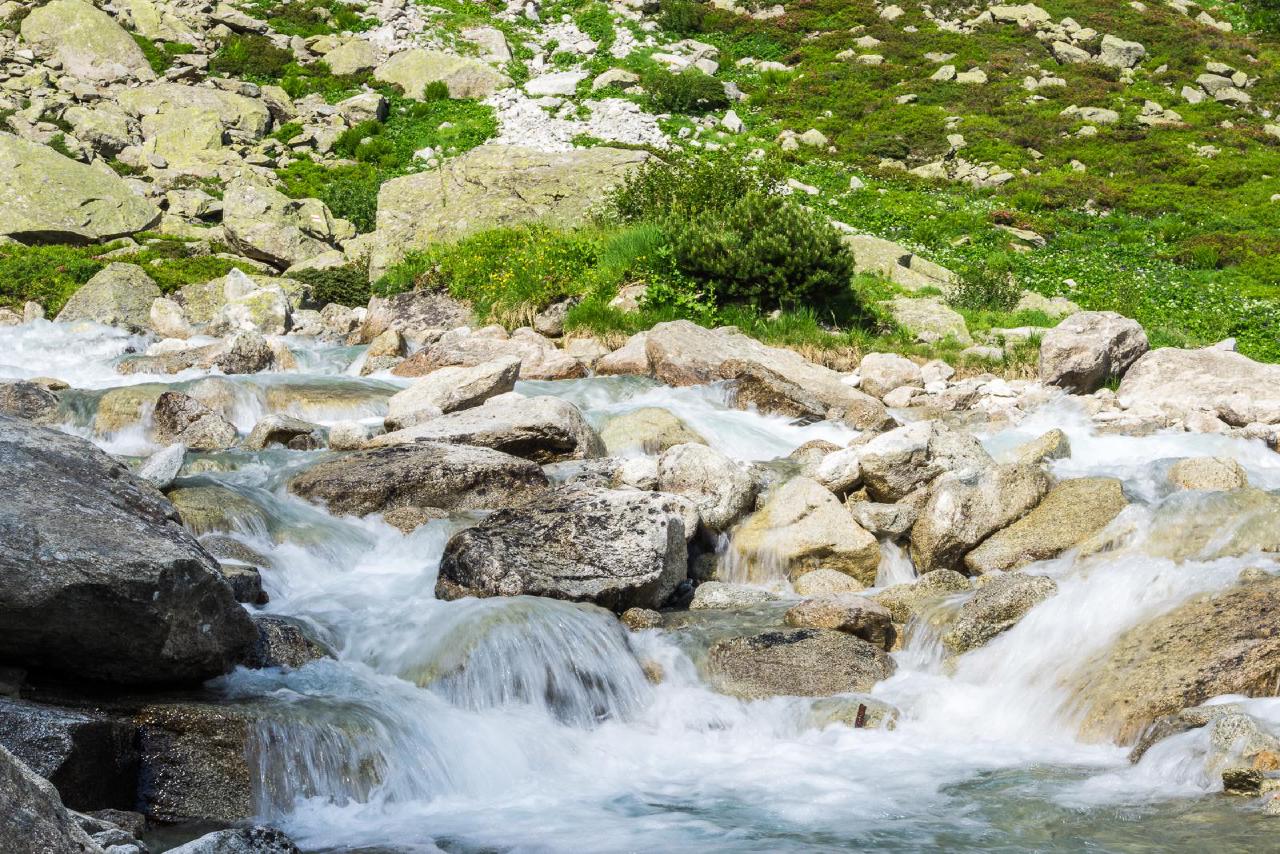
In about 40 minutes, we reached the other end of the lake, boldly stepped over a forbidding closed trail sign, and descended to the water. There, we immediately found a spot seemingly prepared just for us - a flat, even stone perfect for a tent, with two stone “guards” on the sides to prevent accidental slipping. Most importantly, it was right next to a huge boulder, which protected us from the wind and from prying eyes (if any). Not wanting to risk looking for better, we decided to set up camp right there. The sun was still high and even warm, and there were no people around at all. Leisurely, we pitched the tent and cooked dinner, enjoying the beautiful views of the lake and listening to the sound of the water flowing into it. Since we were in a valley, the sun set behind the mountains well before official sunset, and it started to get cold faster. But at only 1800 meters elevation, and with a decent weather forecast, we had no fear of freezing.
June 20 - Zermatt
The night was quiet and calm. We woke up lazily, packed up, and started walking back. Nearby, on a rock, we found a very suspicious towel that wasn’t there yesterday. Maybe it belonged to the person who was sunbathing on the rock below yesterday? But there were no other traces, unclear. We also noticed an orange safety vest worn by a worker standing on a large ledge by the lake, measuring something with a surveying instrument. When we reached the dam, we saw people working on the other side of the lake too - hanging on safety ropes, apparently clearing debris that caused the trail closure. Interesting question: did they get here via a special funicular ride? Unknown.
We sat for a while on a bench, waiting for the funicular’s official working hours, then rode down. There were quite a few people downstairs, but the first trip up wasn’t full - about 3 to 5 seats remained free. Our journey continued toward the Matterhorn, to Zermatt. First, we stopped in Meiringen, a small town where meringue (Meiringen-Meringue similarity is no coincidence) was invented. There’s also the Reichenbach Falls and a small Sherlock Holmes museum, but we skipped those, limiting ourselves to meringues and strange worm-shaped treats.
Before the next leg, we needed to find a shower. I thought it wouldn’t be a problem, but three campsites refused us outright. Only at the small campsite Aareschlucht did the manager wave us through to use a shower (for a coin).
Refreshed, we moved on. Zermatt itself has no parking; the usual option is the large lot at the train shuttle station in Täsch. On the way, we wondered if parking in a farther town with a train to Zermatt might be cheaper, but that was just theory - we stuck to the plan. At the parking, we quickly rearranged backpacks and headed to the train. Conveniently, there was an open supermarket near Zermatt station where we bought some snacks before heading up on the mountain railway to the lake.
The weather turned out different from the forecast: it was supposed to be quite cold, but down low it was actually hot, especially with backpacks. Maybe we looked at the wrong Zermatt, who knows. Once at the Riffelberg station, it was more pleasant. We could have gone to Rotenboden - the next station right by the lake - but we wanted to hike a bit and save on the ticket.
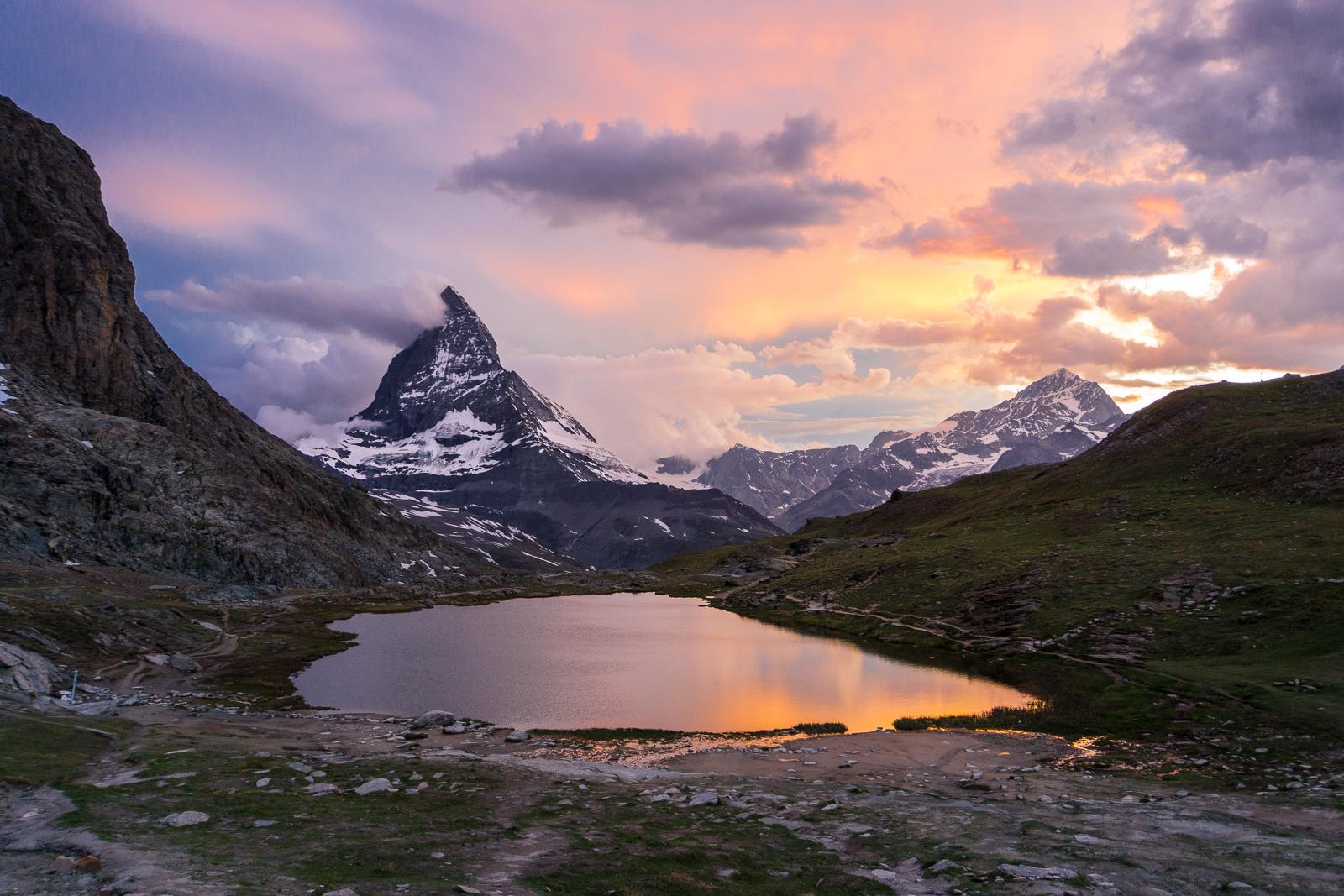
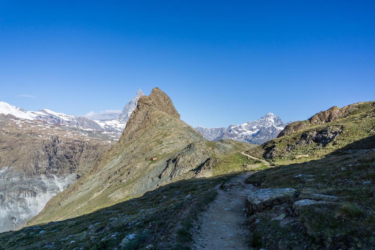
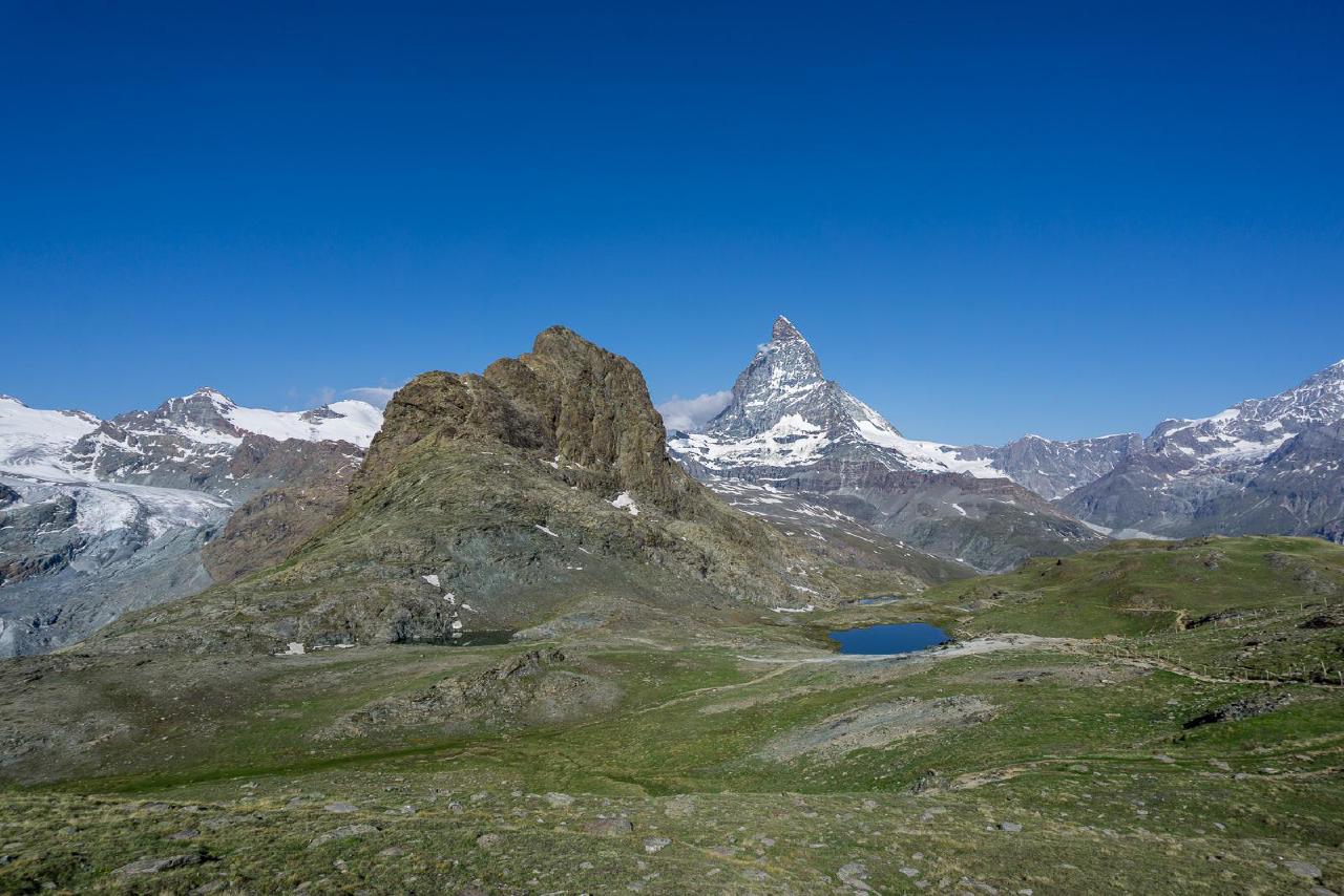
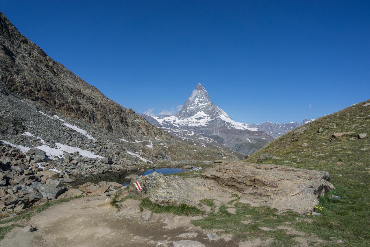
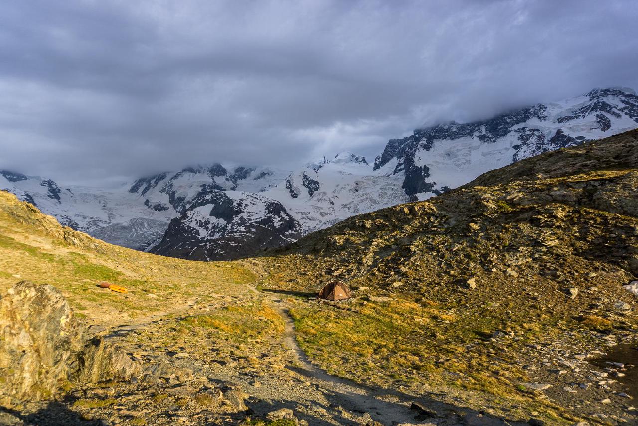
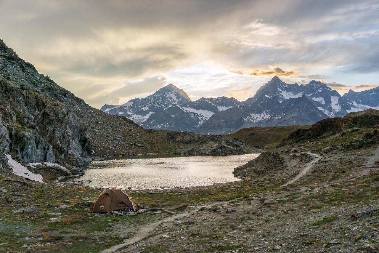
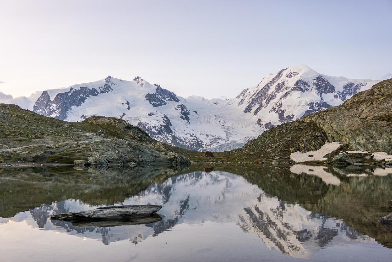
We had no rush and walked slowly, enjoying the view and the Matterhorn looming over the valley. The mountain kept hiding behind clouds, and rain was forecast for the evening. Along the way, we found several caches and reached Lake Riffelsee. I was very surprised by the surprisingly few people - I expected crowds, but there were only a few groups hanging around the lake. We dropped our backpacks, had a snack, looked at the lake, and started thinking about where to spend the night. The area was quite open; wild camping “by the lake” was out of the question - too exposed, too crowded, and the railway station was almost in direct view. So, we climbed a bit higher and found a nameless small pond and a half-abandoned scientific hut with an impressive glacier view nearby.
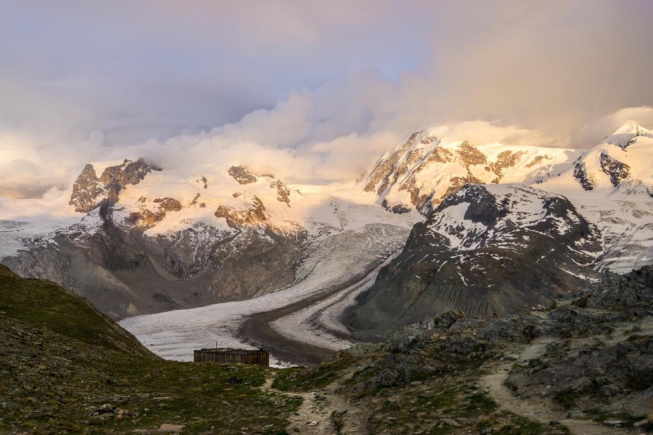
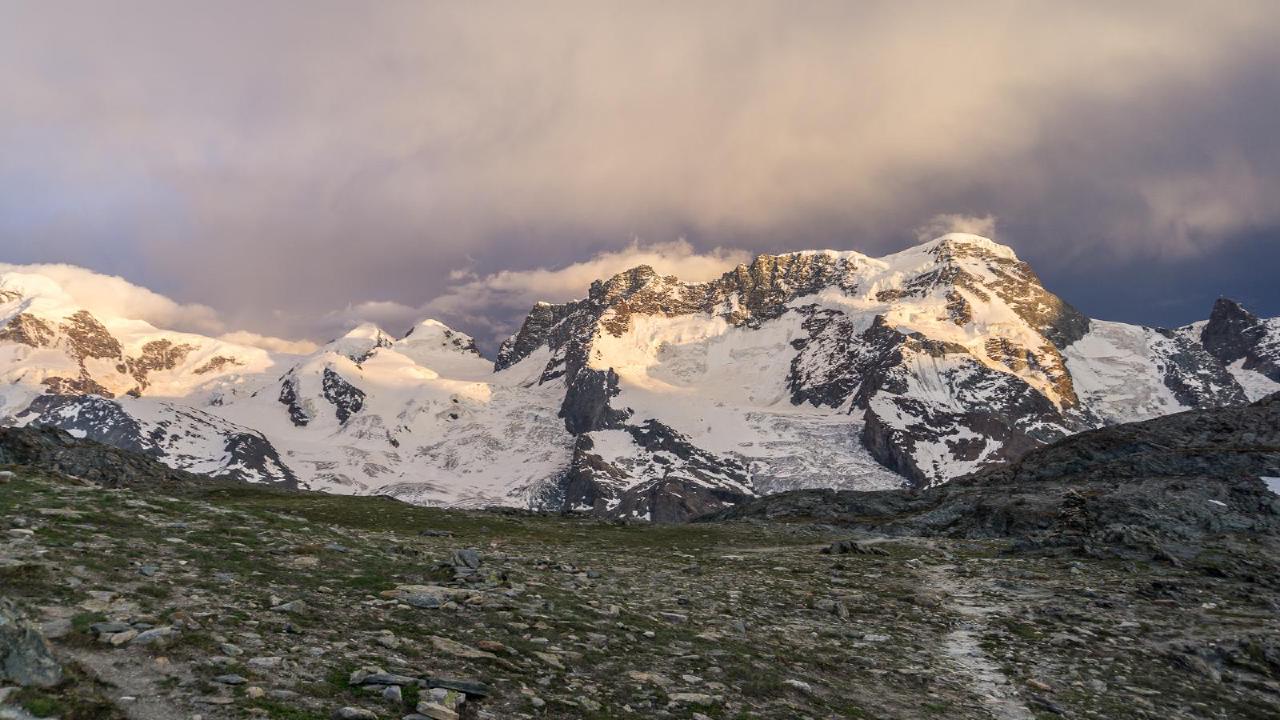
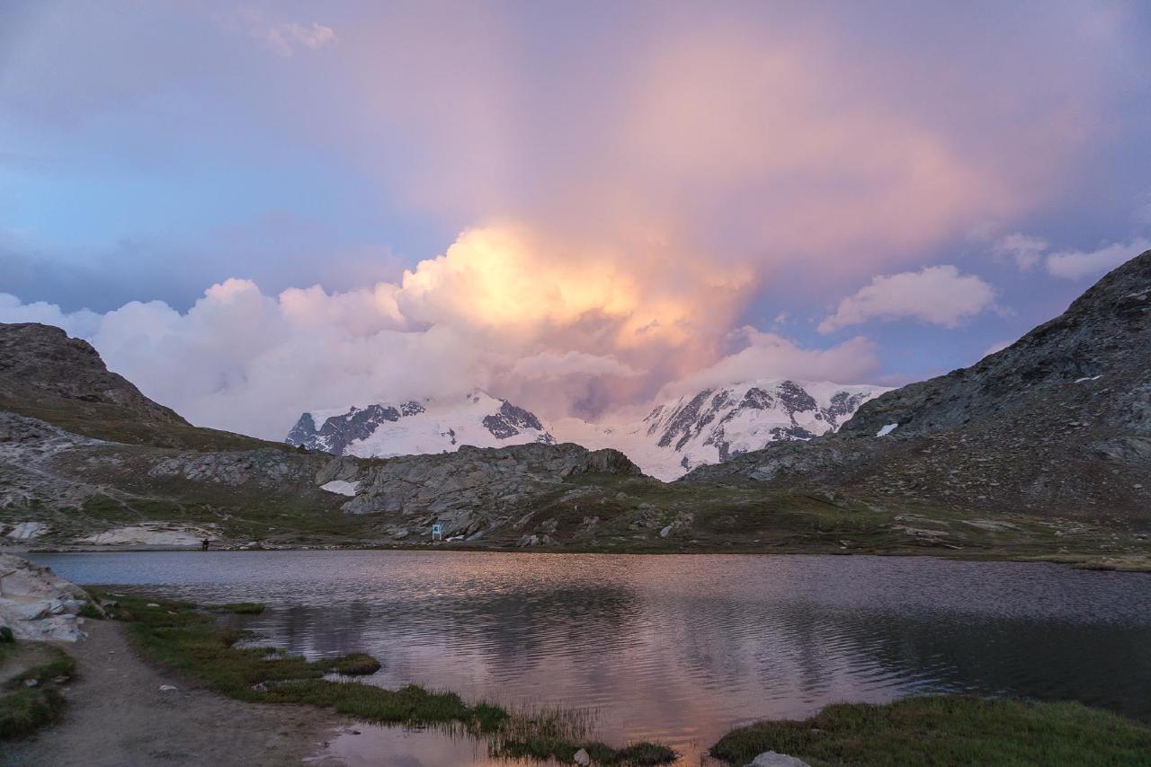
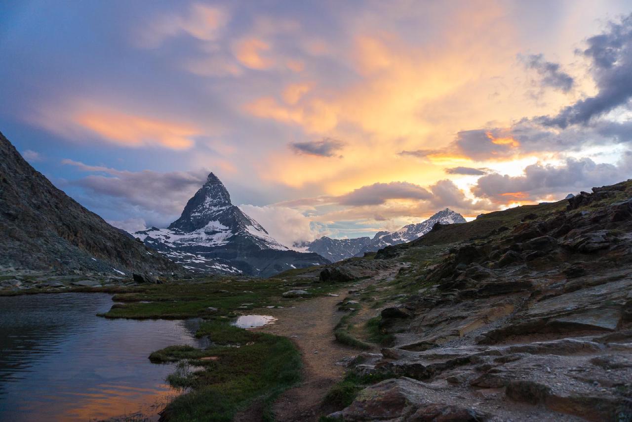
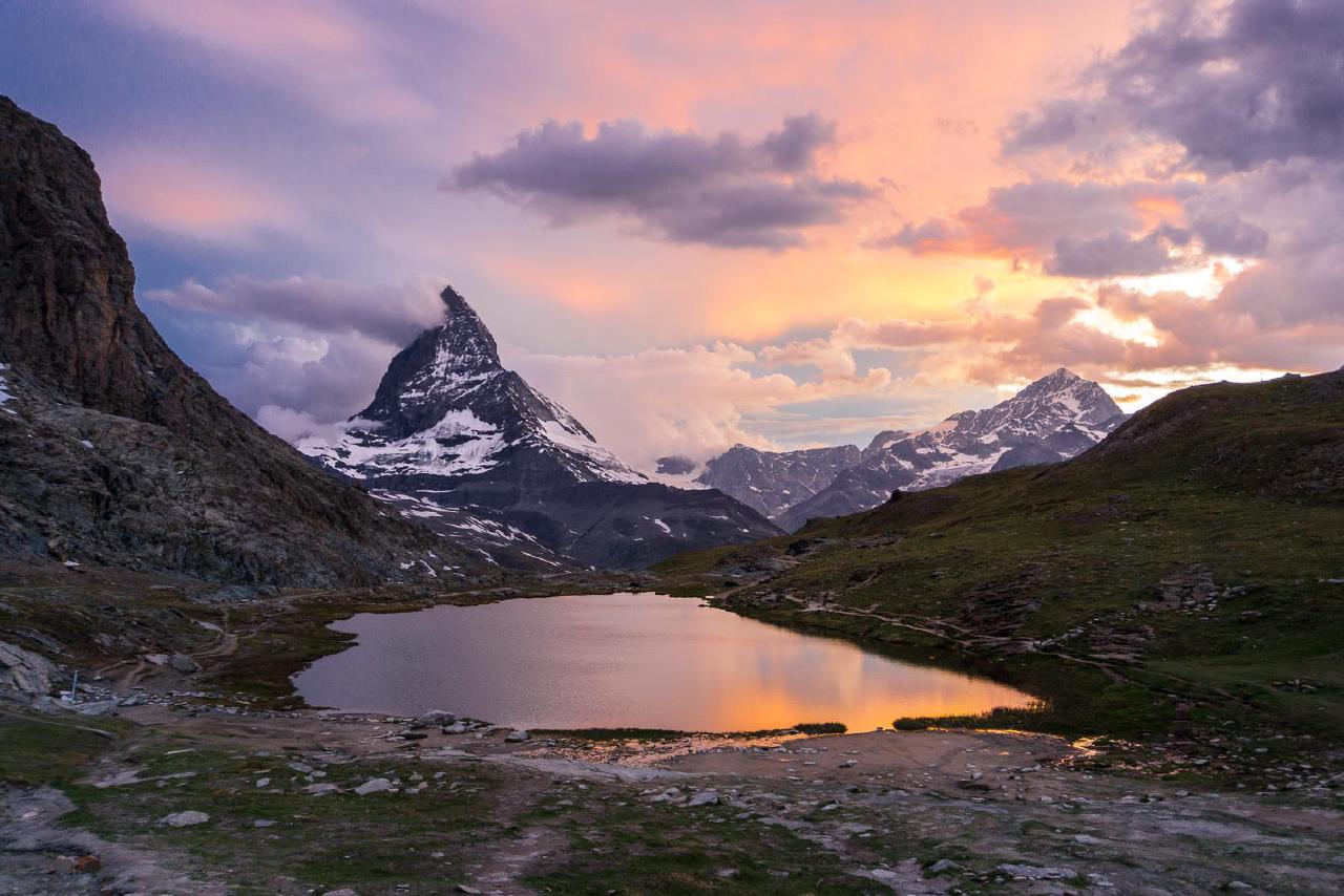
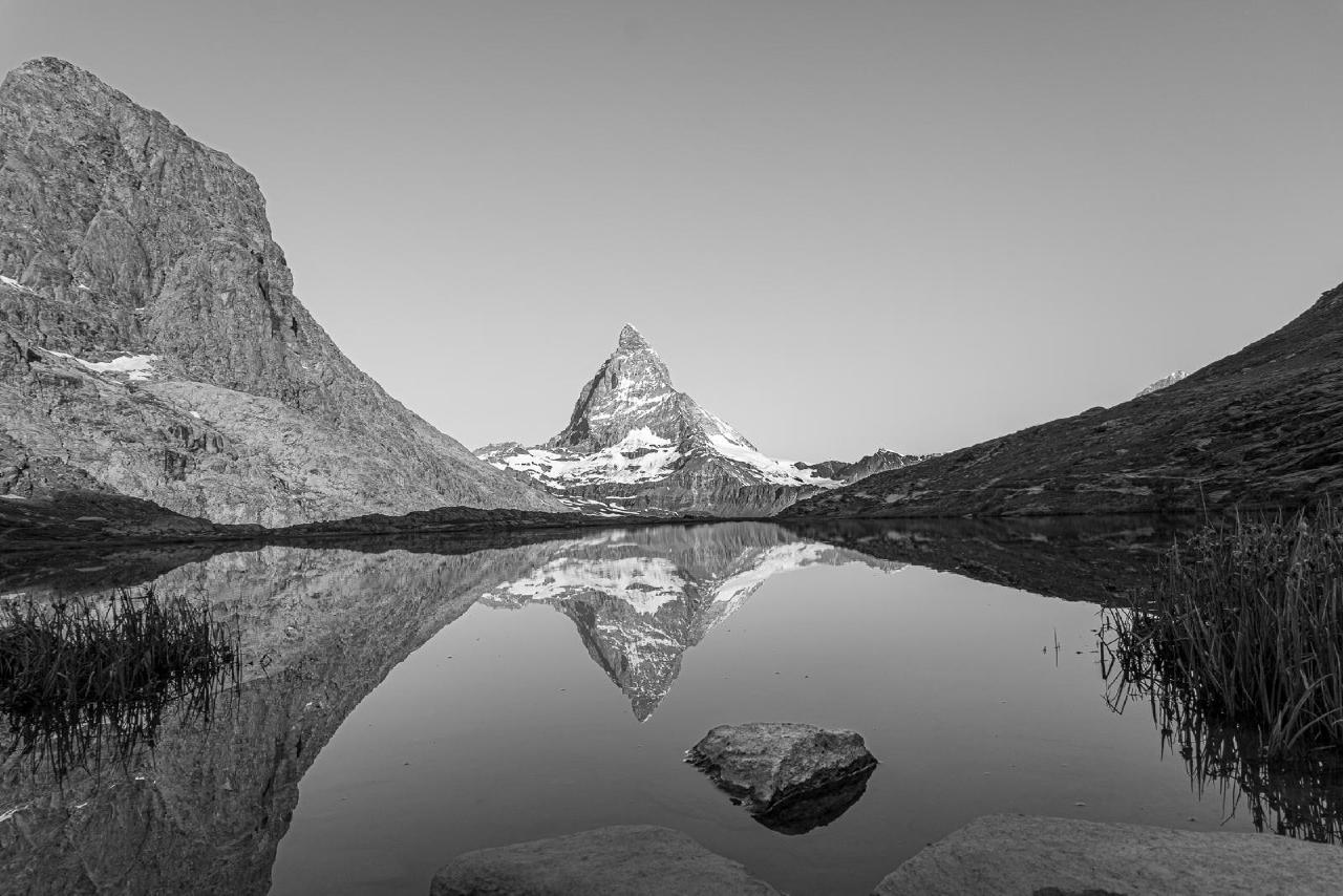
When sunset time approached, I went to photograph the Matterhorn. Luckily, the weather improved slightly, though it was still cloudy. This actually made it better - the fading sunset colors reflected in the clouds, creating a magical effect.
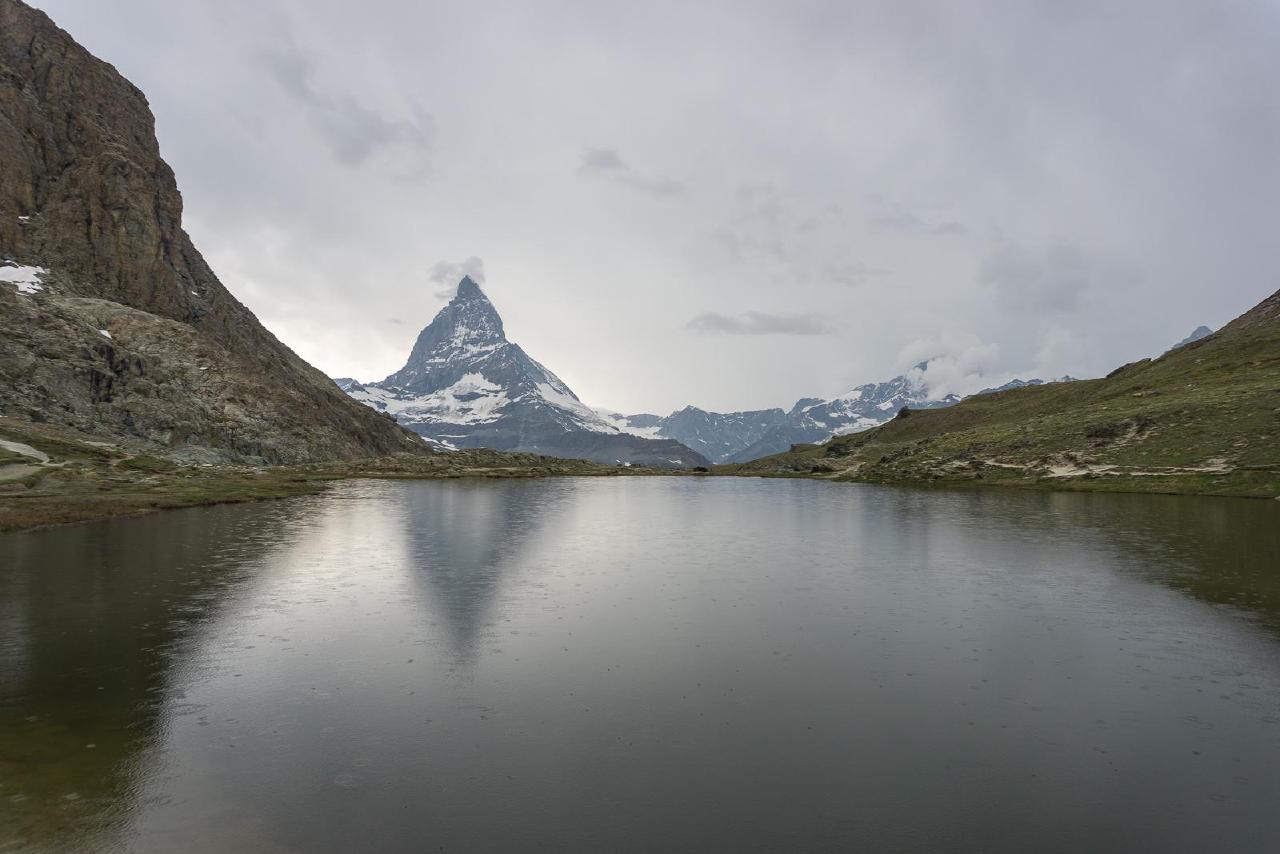
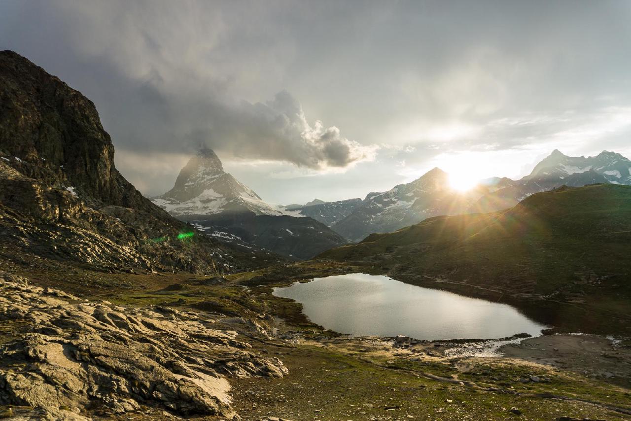
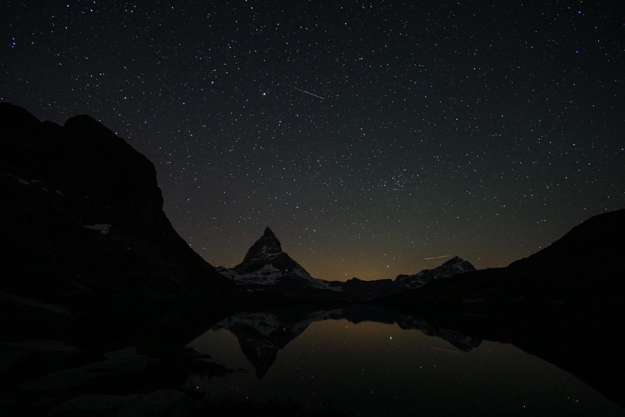
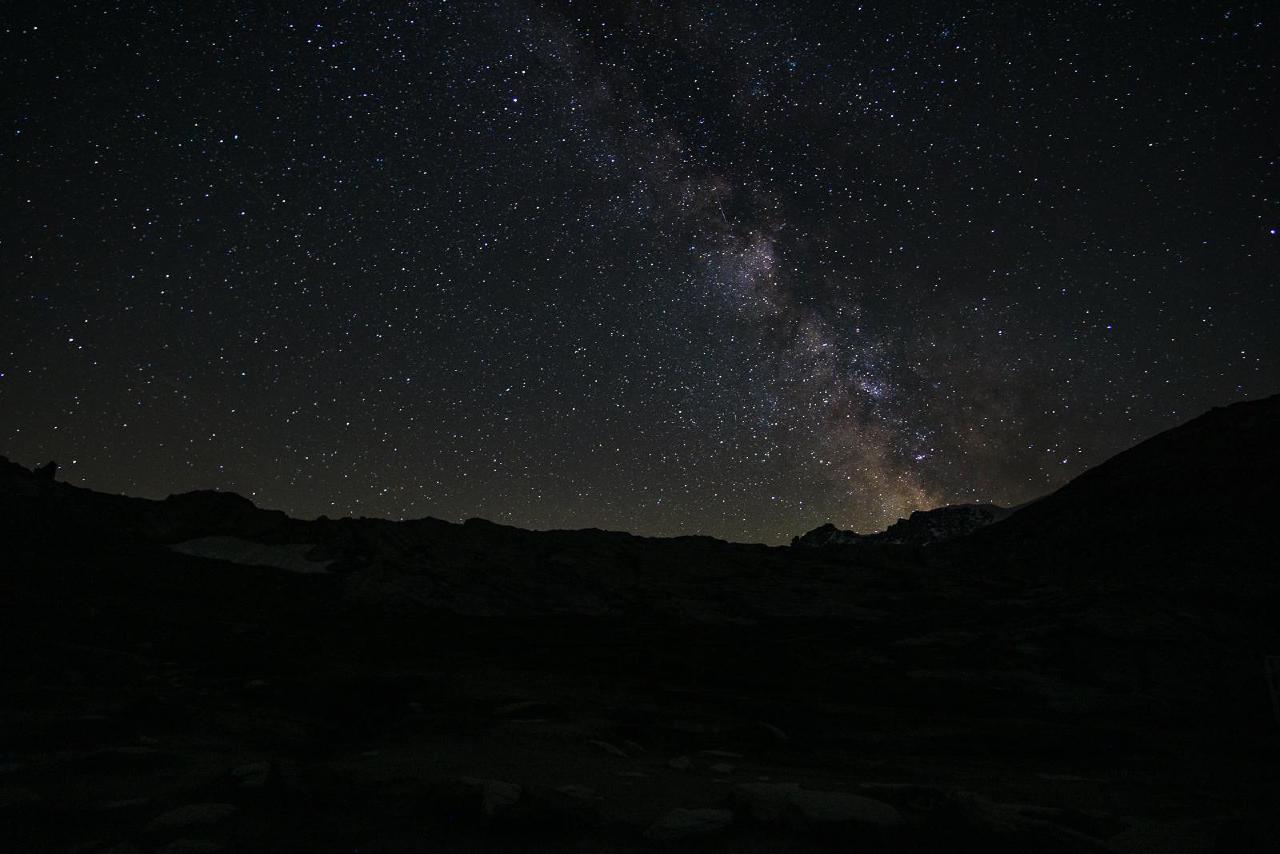
And probably for the first time in a long while, I decided to get up at night and take some night photos. The Milky Way was visible, but on the completely opposite side. Here, take a look:
June 21 – Gruyères
I should probably stop being surprised, but there were absolutely no people at dawn - only one photographer came, took a few shots, and went on somewhere else. We had breakfast and decided to take a short walk around before heading down. To avoid difficulties, we found a flat trail on the opposite side of the glacier (with a view of it) and walked along it.
Unexpectedly, I realized that the peak on that side, where a light was shining at night and some structure was visible, is the Little Matterhorn. We walked with the view until we got tired, then turned back and finally reached the train station. Just in time - although trains start running very early, the first people only appeared around 8:30 a.m. So it was definitely time to leave.
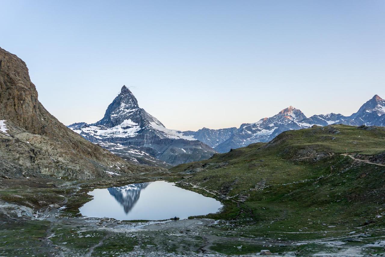
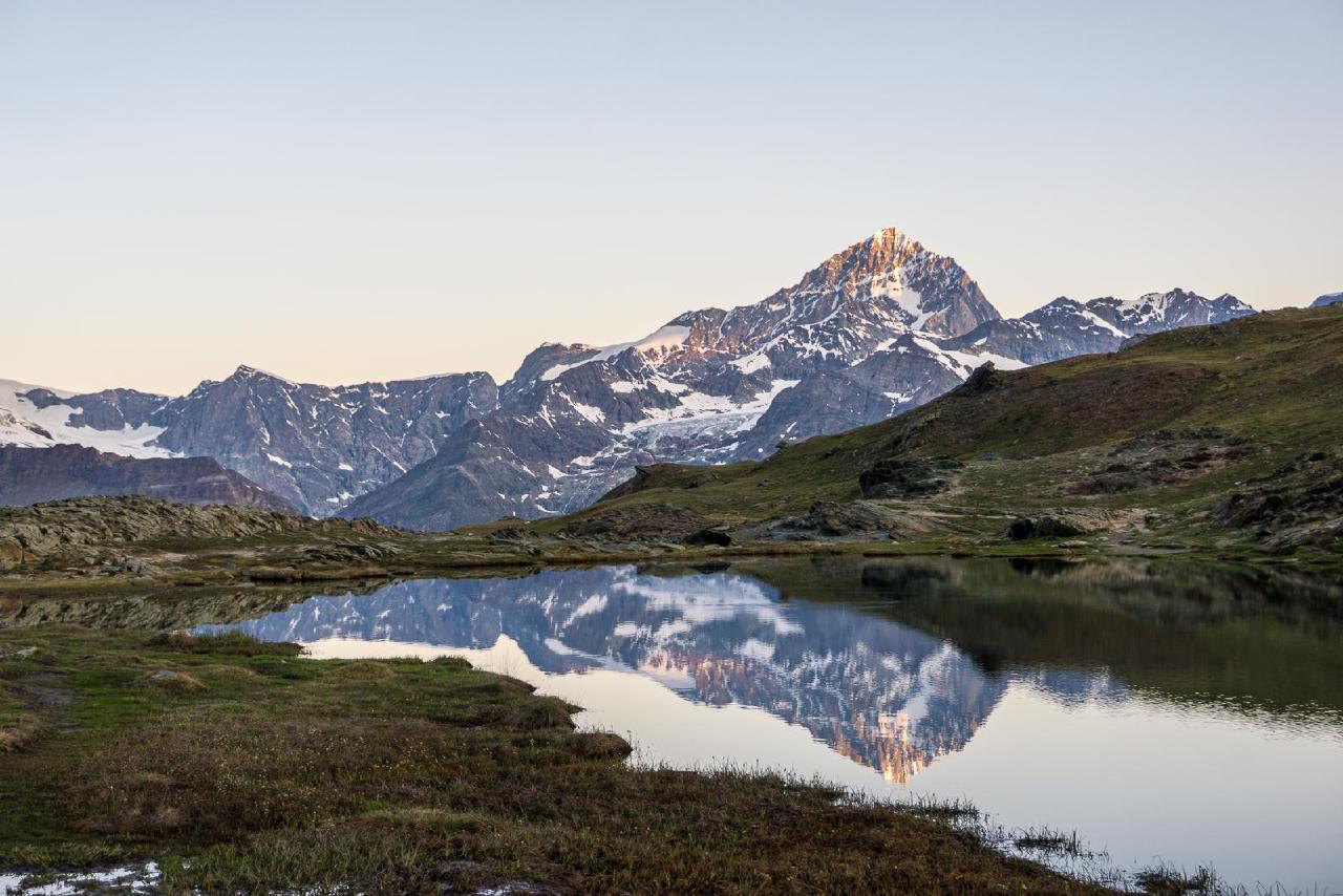
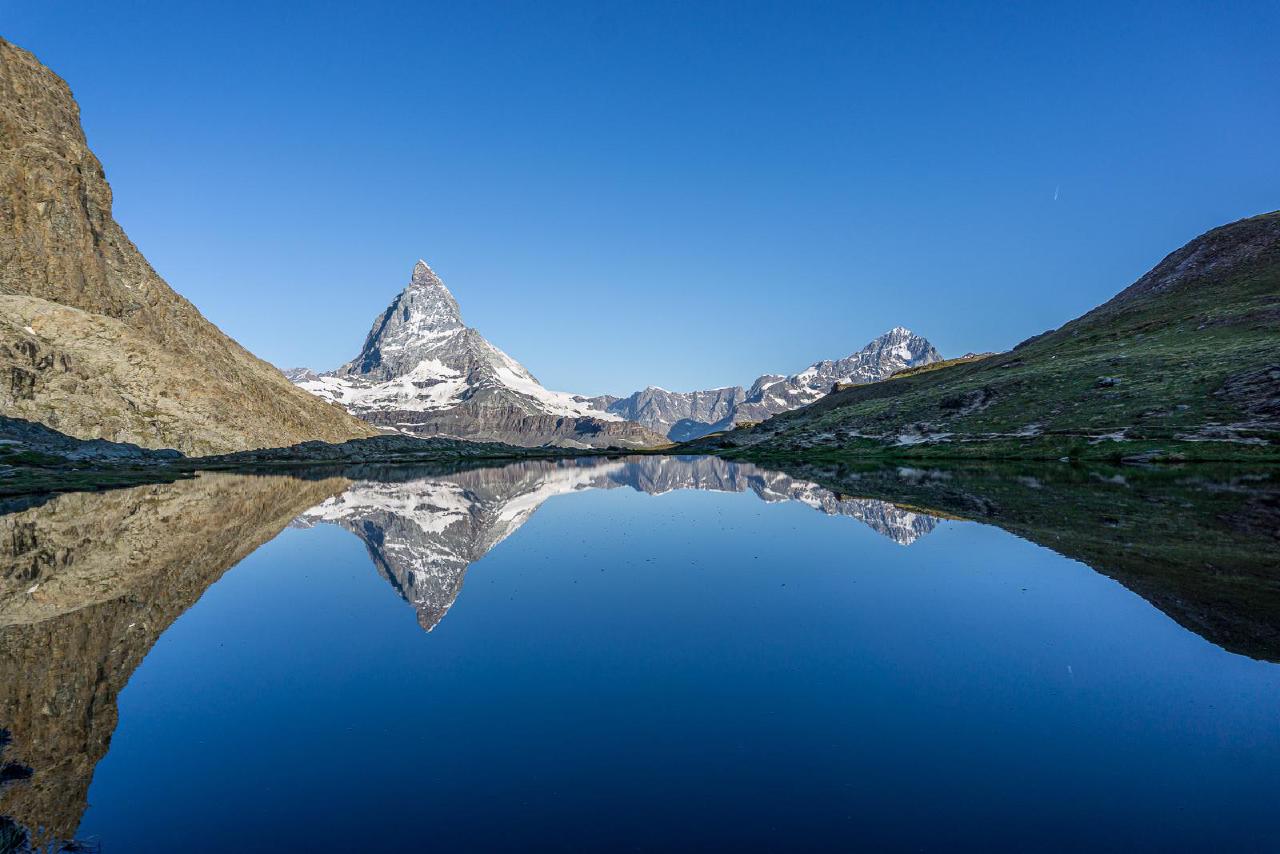
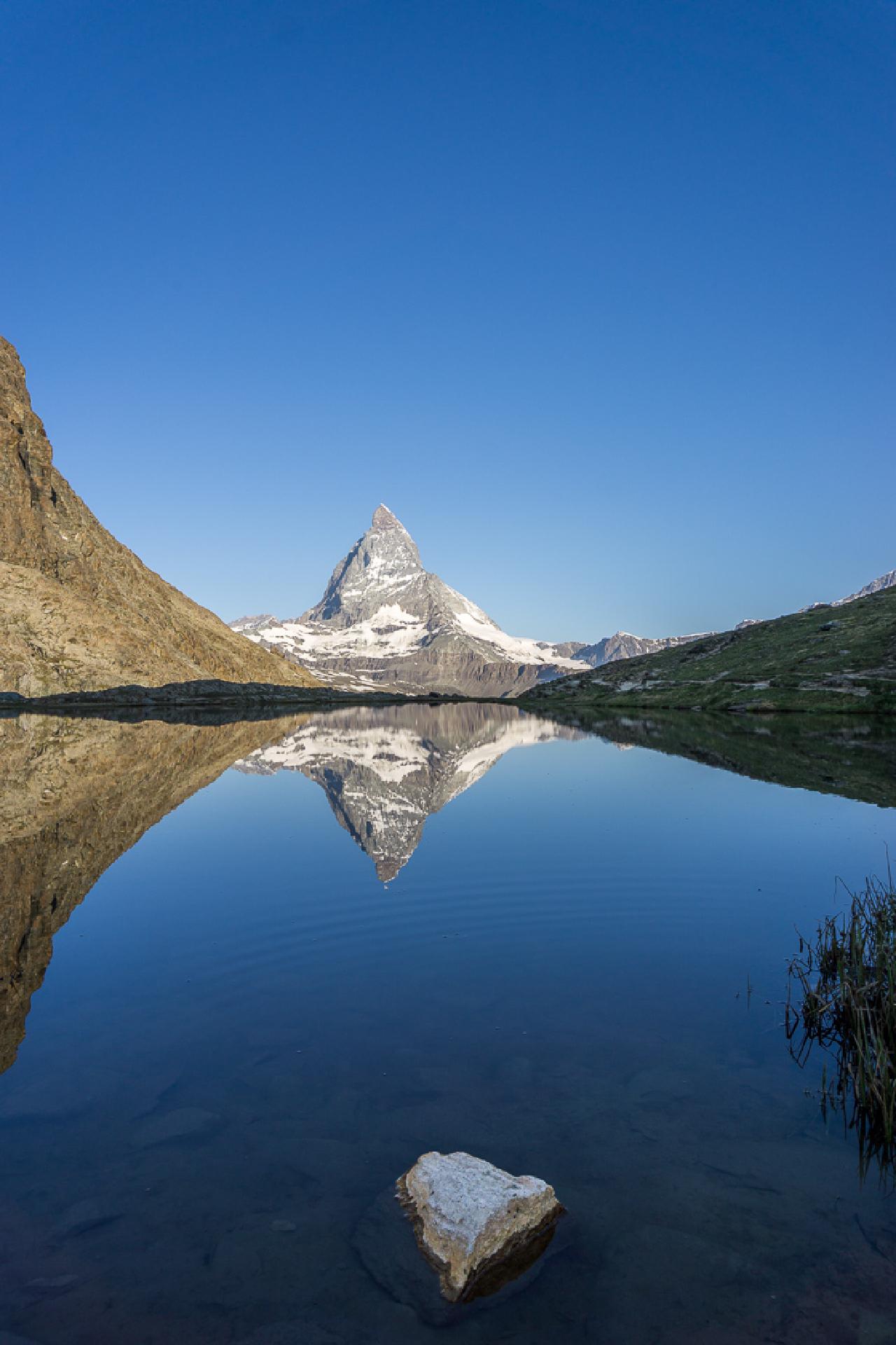
We reached the station without incident, took the train down, and were greeted again by extraordinary heat. However, that didn’t stop us from taking a short walk around the town, which suspiciously resembled Krasnaya Polyana. I couldn’t find any official information confirming that Zermatt inspired Krasnaya Polyana’s design, but the resemblance is obvious: a mountain river, a pedestrian street, surrounding peaks, and “village-style” architecture of houses along the waterfront.
We could have walked more, but with the heat and full backpacks, it wasn’t very pleasant, so we stuck to the main street. In a local bakery, we bought edible souvenirs: some kind of Zermatt “mountain bread,” nut pies, and Matterhorn-shaped chocolates. Probably our most expensive bakery visit - we spent about 80 francs there.
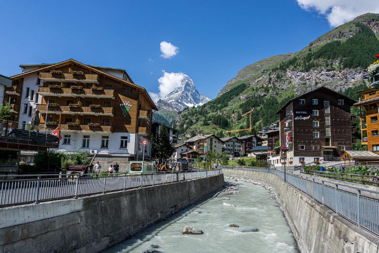
After Zermatt, it was time to go home. But driving directly back on the same switchbacks wasn’t very appealing, plus we wanted to continue our tradition of visiting cheese villages started a few months ago in France (where we visited a museum and ate Camembert in Camembert), so we decided to go through Gruyères.
It turned out that on the stretch of road from Lausanne, the free route makes a very unpleasant and long detour through hills, costing us nearly an hour and a half. But we managed to buy cheese and even grabbed almost the last spot at the only mega-expensive campground in the area (probably why there were absolutely insane numbers of people crammed there).
June 22 – The Way Back
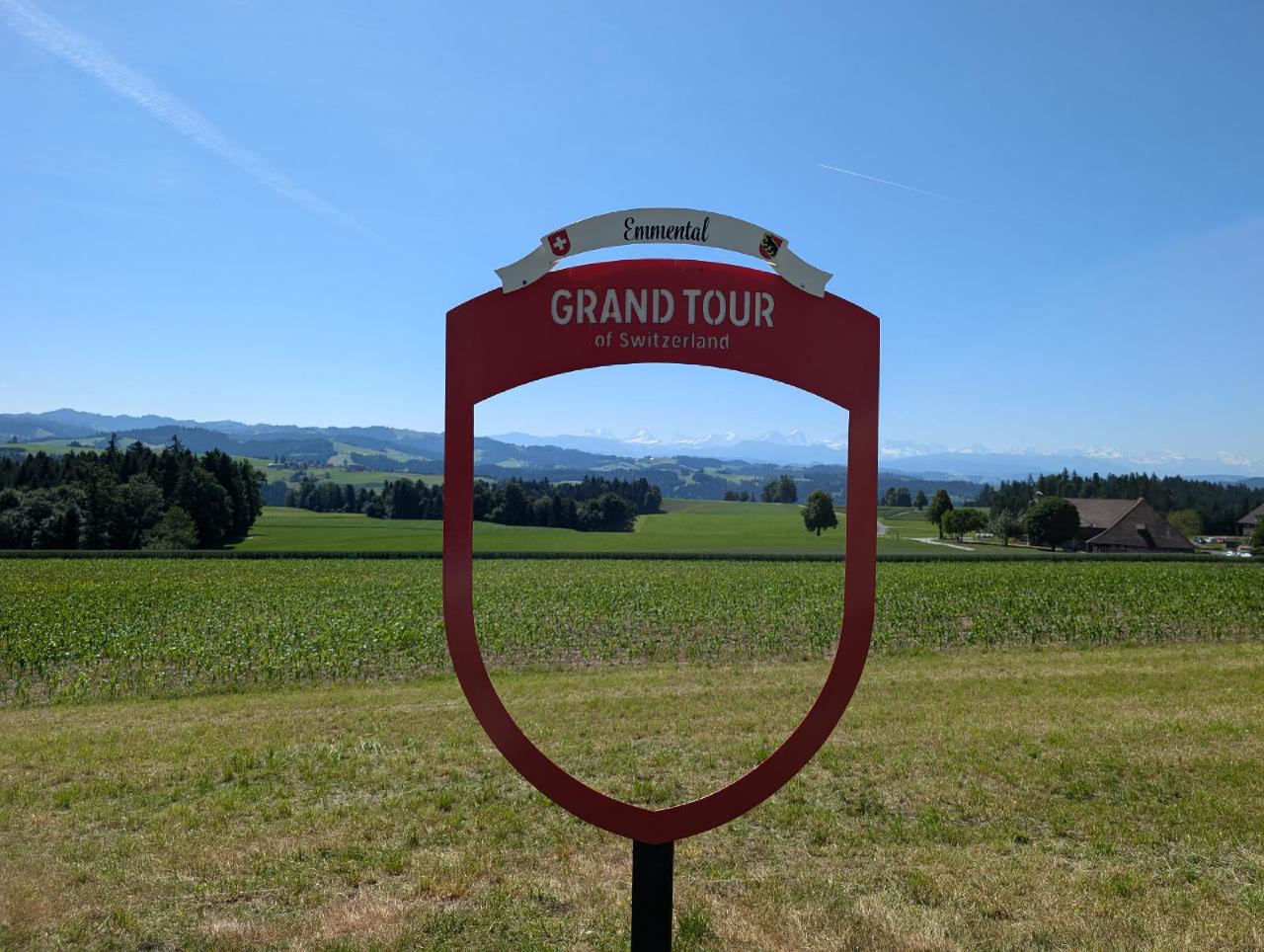
Hooray, it’s my birthday! But the plans for today weren’t very adventurous - over 8 hours of driving home. So it was just drive, drive, and drive again. While I rested in the co-driver’s seat, I studied what exactly the Grand Tour is, the signs for which we’d seen several times on this trip. It turns out to be, in a way, an organized circular route around Switzerland: Grand Tour of Switzerland, which celebrated its 10th anniversary this year. Kind of a pity we didn’t look into it before the trip; we could have visited several interesting spots.
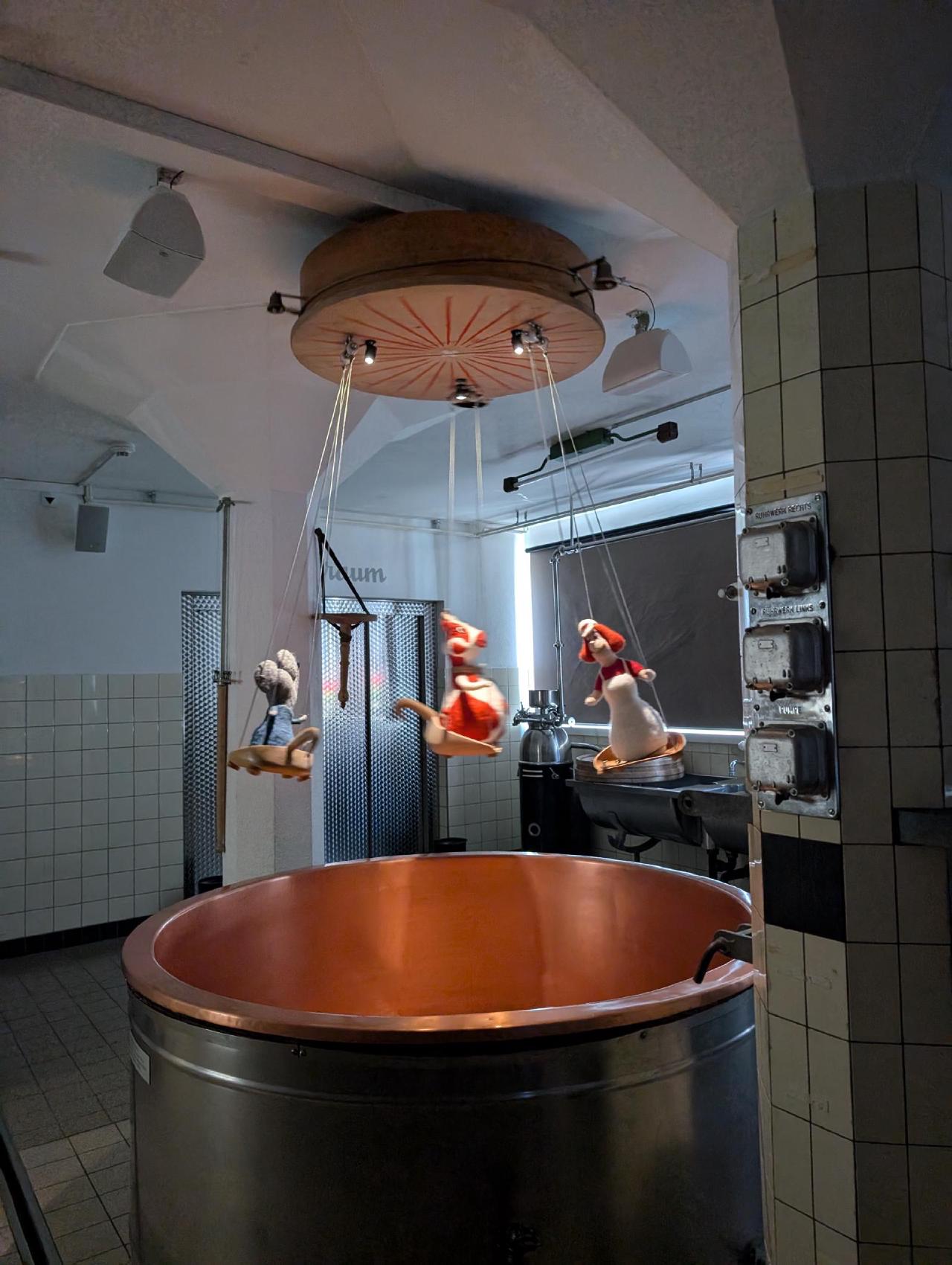
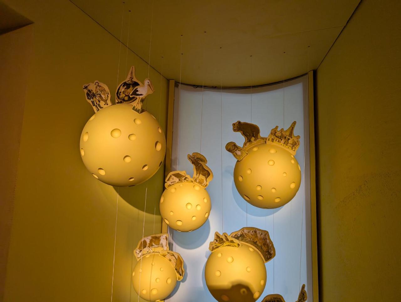
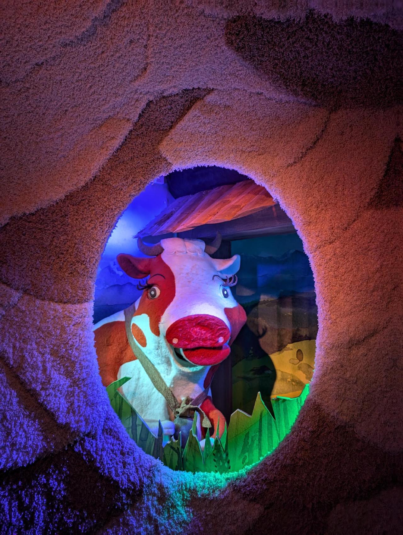
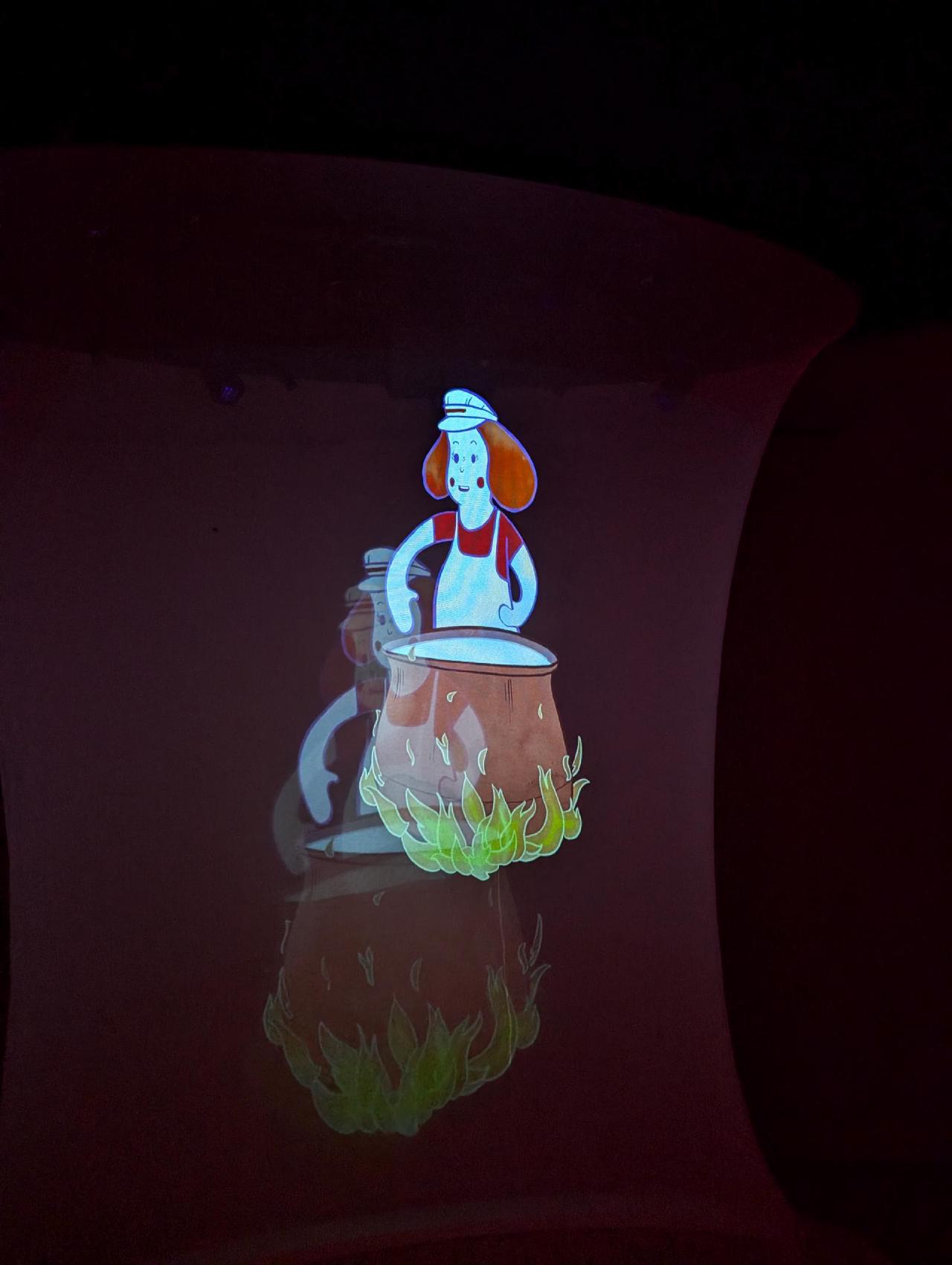
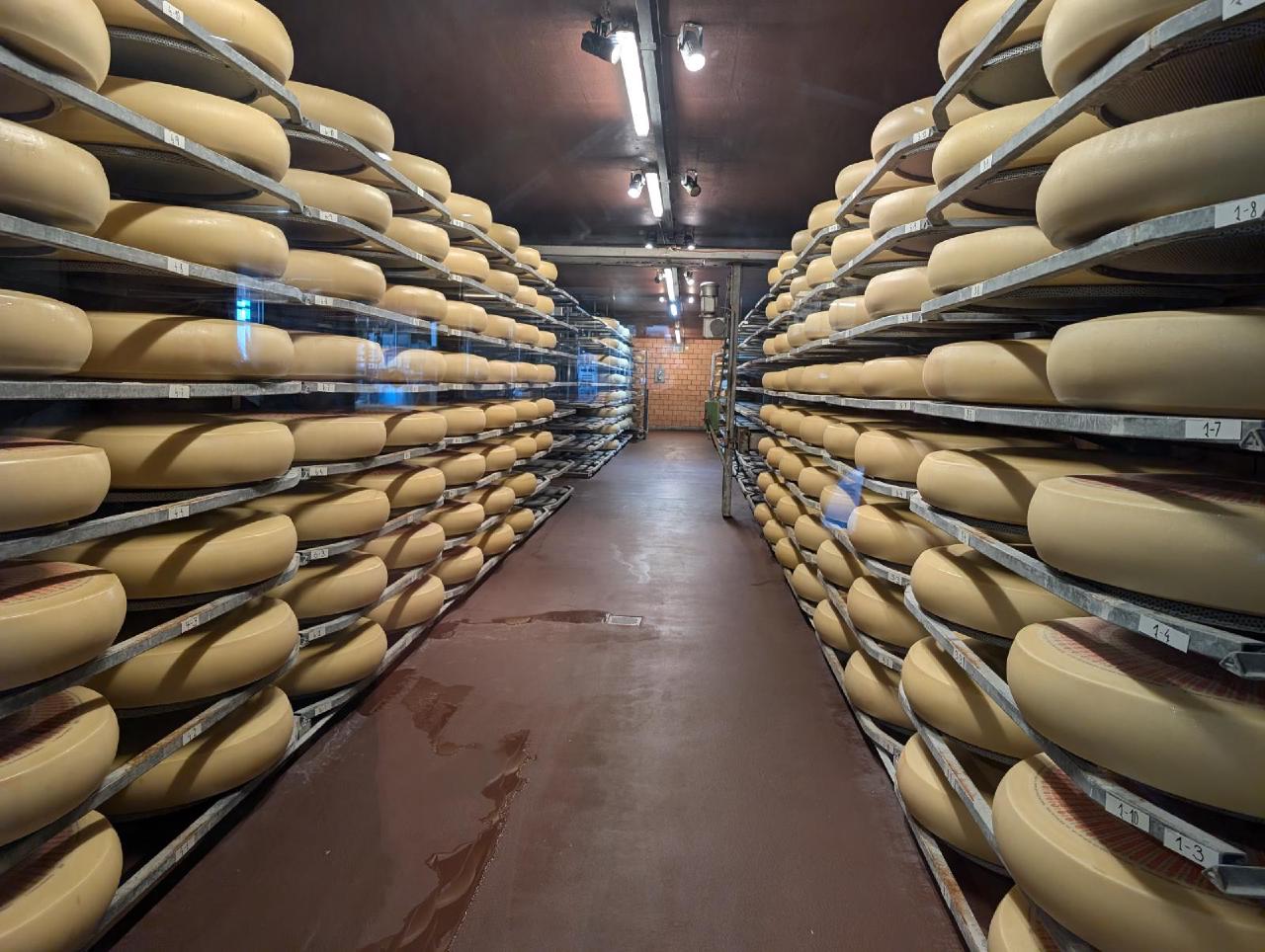
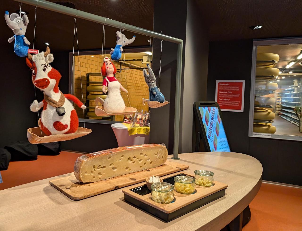
At least we decided to make one stop during the day and visit the village where Emmentaler cheese was invented. This spot is also on the Grand Tour route, and there’s a “photo spot” where you can “check in” - very cool! The cheese village also has a cheese museum, and it was interesting to compare approaches. Whereas the Camembert museum in France was more serious and historical, here the tour guides were a cow, a milkmaid, and a mouse, telling the story of Emmentaler in a rather quirky style. Apparently, it’s aimed more at children, but still interesting for adults. We stocked up on cheese here before starting the final leg of the journey.
Alright, alright, in reality, after crossing into Germany and taking the wheel, I found that the route passed literally just a few hundred meters from the memorial of the plane crash at Lake Constance! That’s a sign! But more about it in a separate post
Finances
The trip turned out to be more expensive than usual, primarily due to costly mountain transport (railways/funiculars), as well as the fact that we did not skimp on souvenir bread and cheese. =)
The total cost was about 934 euros for two people over 4 days, broken down as follows:
- 380 euros on food and groceries
- 300 euros on funiculars and trains
- 180 euros on gasoline and parking near Zermatt (1320 kilometers traveled, refueled twice: cheap fuel in Austria and mid-priced in Switzerland)
- 38 euros for one night at a Swiss campsite
- 35 euros for the Emmentaler museum
Basically, the two most expensive parts could have been avoided by not buying “souvenir” cheese (we bought over 100 euros worth of cheese alone) and hiking up to the Matterhorn on foot (which would take noticeably longer but there are trails and routes).
Hikes and wild camping
Gelmersee
Most likely, by the time you read this, the full circular hike will be open again. That’s definitely the recommended option, if possible. Unfortunately, for us there were some issues on the trail, so we had to walk first to the dam, then to the fork and back again in the morning.
There are not many options available for wild camping there. Some possible spots can be found at the dam, near the trail fork (to the circular hike and downhill). However, these spots felt too close to the traffic for us. And at the opposite side around the other trail fork (to the hut/continue circle) there are a lot of stones, slopes, high grass. Our place next to the huge boulder is likely the only acceptable spot there where one can pitch a small tent. In addition, the boulder hides from any people on the trail (if any).
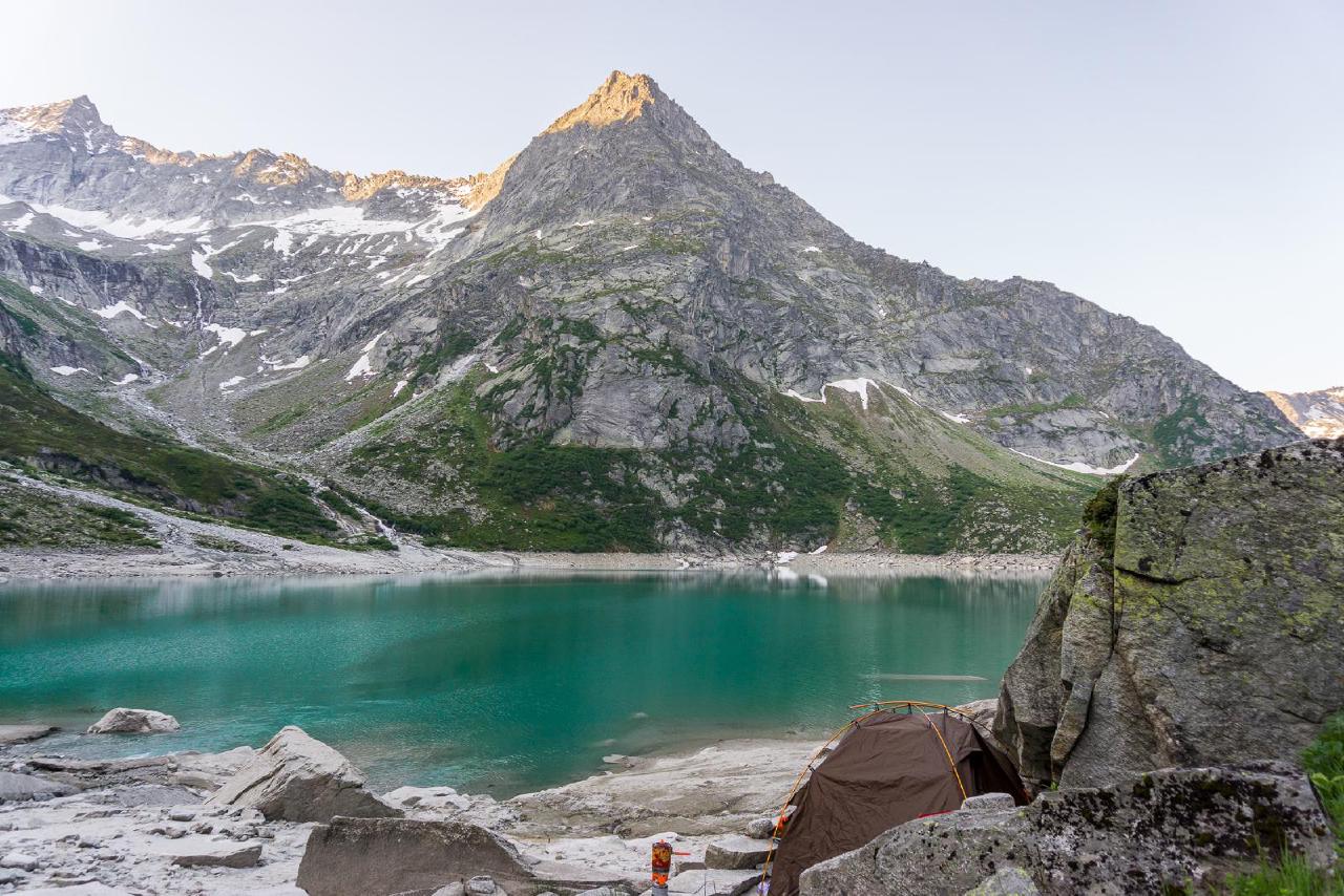
The way from the upper station to the wild camping place is just 30-40 minutes without any elevation gain.
Of course, if you’re here, it would be a mistake to NOT take the Gelmerbahn. However due to full bookings, usually round-trip tickets are only available for evening and morning. It seems like the staff had seen piles of garbage, however they’re quite adequate and understand that garbage is not coming from wild camping people (I’d say rather opposite honestly). If you want to save a bit, it’s possible to hike up as well, it should take around 1.5 hours, but we haven’t tried it. Even in this case I recommend taking the funicular down though.
Riffelsee
To the Riffelsee, we started from Riffelberg station. The way there took about an hour from 16:20, roughly 2 kilometers with 150 meters of ascent. But we walked at a very relaxed pace since we had plenty of time. On the way back, we started around 7 a.m. and covered just under 5 kilometers (we made a short detour along the gorge with a glacier view in the morning) and reached the railway at 10:20.
I strongly advise against spending the night directly at the lake - it’s too exposed and far too close to the station. That would only attract unnecessary attention and worsen the image of “wild camping” in the eyes of passing tourists. A tent can be pitched either a bit further up the hill near the research hut with a glacier view, or by a small unnamed lake nearby. Both spots offer fairly sheltered places for a tent. However, by the glacier it felt a bit oppressive - that ice wall is truly imposing (and as it turned out in the evening, extremely windy). By the small lake, on the other hand, it was still close enough to Riffelsee, but slightly over the hill and out of direct sight from the station. There were even stones already arranged as a windbreak. That’s where we set up.
Because of the proximity to the station, a couple of times we did see people - either across the lake or on the hill - who clearly noticed our tent, but they didn’t come any closer.
Summary
For the first time in 8 years, finally reached the Matterhorn! Despite all the scary stories and its iconic status in Switzerland, there were neither crowds nor problems wild camping overnight by the lake with a tent. Highly recommend it to everyone.
Also rode one of the steepest railways/funiculars in the world - a very interesting experience. Everything was very friendly regarding wild camping as well.
And finally, ate Gruyère and Emmental, adding to our “cheese collection.”
